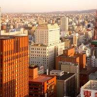
Hokkaido, Northernmost prefecture in Japan
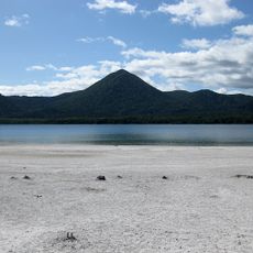
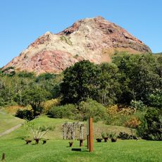
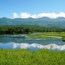
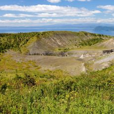
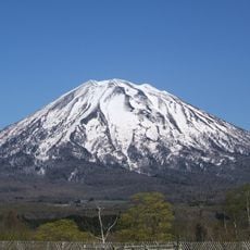
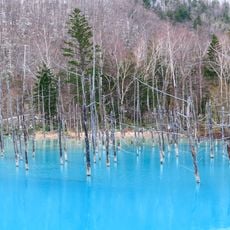
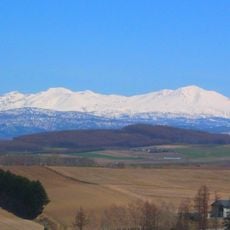
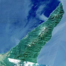
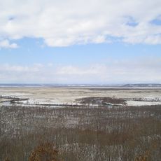
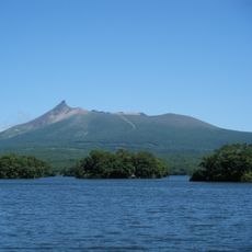
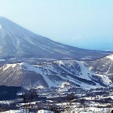
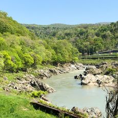
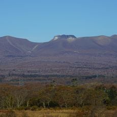
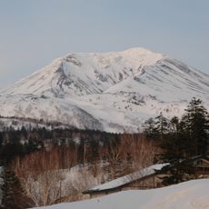
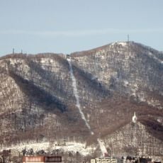
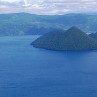
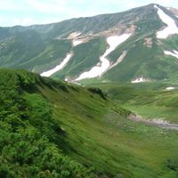
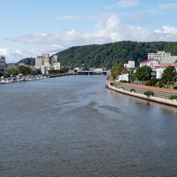
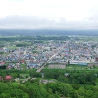
Hokkaido is the northernmost prefecture of Japan and extends across mountains, volcanic formations, lakes, and coastlines. The region spans approximately 83,000 square kilometers on the nation's second largest island, offering diverse landscapes and terrain.
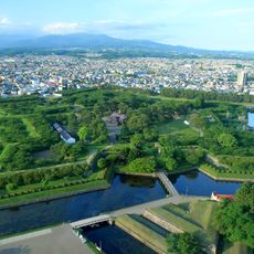
The territory was formerly known as Ezo and underwent major development after 1869 when the Meiji government launched systematic colonization and modernization efforts. This period fundamentally transformed the region from sparsely populated to a developed administrative area.
The Ainu people have preserved their traditions through ceremonial dances, oral storytelling, and craftsmanship, particularly visible in settlements near Lake Akan and Shiraoi. Visitors can observe these living practices today and see how they remain woven into daily life and community identity.
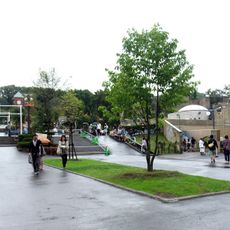
New Chitose Airport connects the region with major Japanese cities, while the Seikan Tunnel provides rail access via the Shinkansen from Honshu. These transportation links make arrival and travel within the area straightforward from most parts of the country.
The region produces roughly 95 percent of Japan's milk and dairy products, making it the primary source for the nation's cheese, butter, and ice cream. This agricultural focus shapes rural life and local food production in visible ways throughout the area.
The community of curious travelers
AroundUs brings together thousands of curated places, local tips, and hidden gems, enriched daily by 60,000 contributors worldwide.