Shiretoko, Nature reserve in Hokkaido, Japan
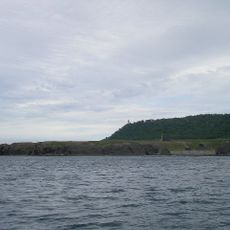
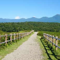
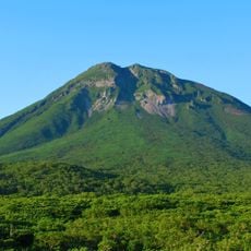
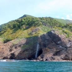
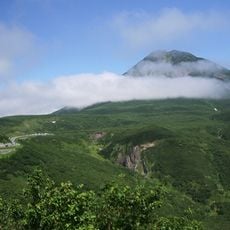
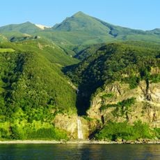
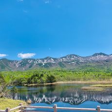
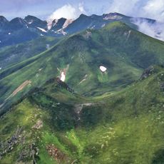
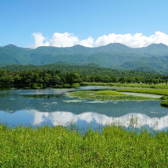
Shiretoko is a nature reserve and World Heritage Site in northeastern Hokkaido, stretching across a narrow peninsula that juts into the Sea of Okhotsk. The landscape combines volcanic mountains, dense forests, and steep coastal cliffs that drop directly into the sea.
The peninsula became a national park in 1964 and gained World Heritage status in 2005. Recognition came after decades during which the region remained largely isolated and difficult to access.
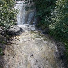
The name Shiretoko comes from the Ainu language and means "the end of the earth." The peninsula's Ainu place names remain in use, including Kamuiwakka, which refers to a hot waterfall fed by a volcanic stream. The Ainu name for the Shiretoko promontory is Siruetok, from which the Japanese name derives.
Access is through the town of Shari, which can be reached by bus or car from larger towns in Hokkaido. Hiking trails and boat tours along the coast offer different ways to explore the landscape.
The sea ice that reaches Shiretoko is the southernmost seasonal sea ice in the Northern Hemisphere. Algae growing under it and the mixing of water during its formation feed plankton, and the salmon that return to the rivers then die and enrich the forest. The drift ice also carries seals and Steller's sea eagles to these coasts.
The community of curious travelers
AroundUs brings together thousands of curated places, local tips, and hidden gems, enriched daily by 94,308 contributors worldwide.