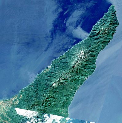
Shiretoko Peninsula, Natural peninsula in eastern Hokkaido, Japan
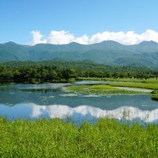
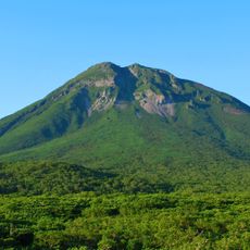
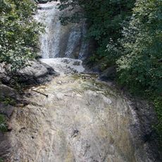
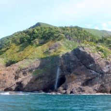
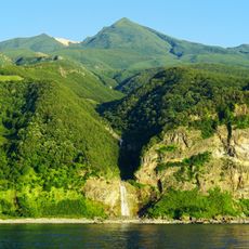
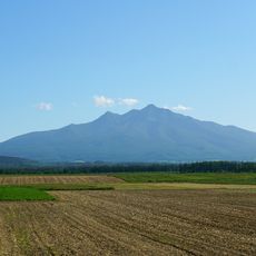
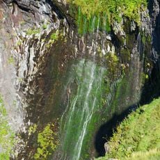
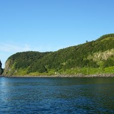
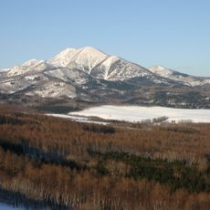
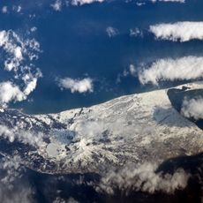
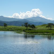
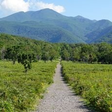
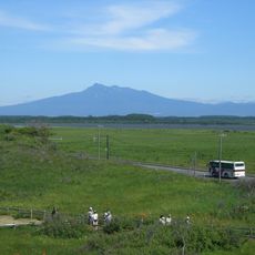
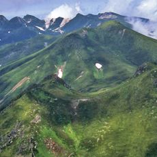
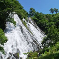
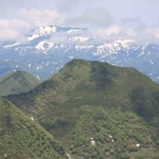
Shiretoko is a 70-kilometer peninsula extending into the Sea of Okhotsk, combining mountains, dense forests, and coastlines with rich marine ecosystems. The region connects volcanic mountain chains with deep valleys where rivers flow to the sea, meeting rocky cliffs and shallow bays.
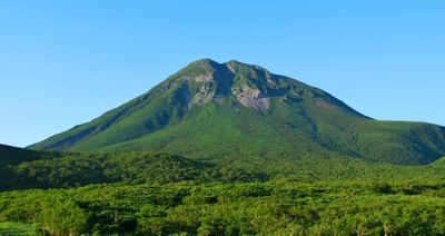
The peninsula gained UNESCO World Heritage status in 2005 for its natural environment, which includes volcanic formations and geological features stretching back millions of years. For thousands of years, Ainu communities shaped the coastal region through fishing and trade with northern islands.
The name comes from an Ainu phrase meaning "the end of the earth", describing how the peninsula reaches far into the ocean. Local communities still honor this connection through place names and seasonal fishing traditions passed down for generations.
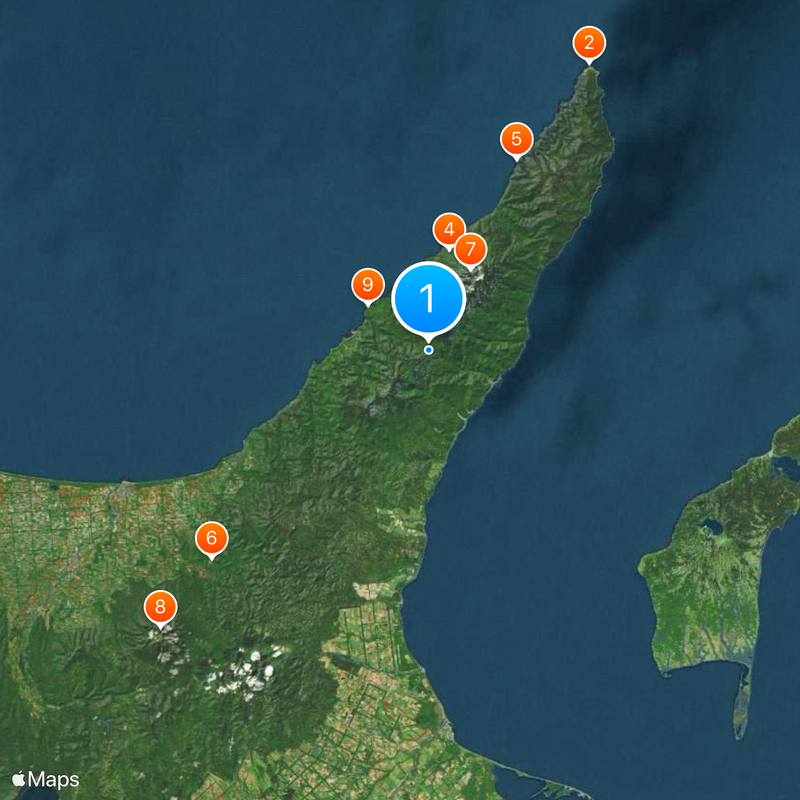
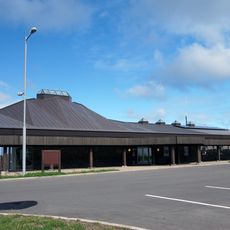
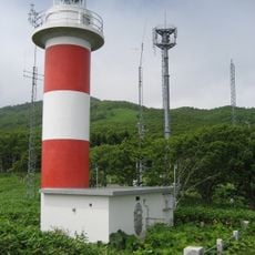
The northern part requires boat transport or hiking, as roads reach only three-quarters along the peninsula. Visitors should prepare for changing weather and bring sturdy shoes for uneven terrain, especially when walking along the coast or into higher elevations.
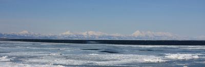
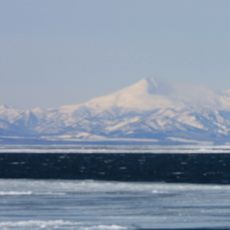
During winter, the Sea of Okhotsk near the peninsula fills with drift ice, making this the southernmost location in the northern hemisphere for such conditions. Brown bears roam the coastline here more frequently than almost anywhere else in Japan, searching for salmon returning to the rivers.
The community of curious travelers
AroundUs brings together thousands of curated places, local tips, and hidden gems, enriched daily by 60,000 contributors worldwide.