Chest opened
+${chestReward.xp} XP
Explorer
NOUVEAU ×${chestReward.collectible.quantity}
tapez pour fermer

See the monuments around you in AR Open chests in the app

Around Us is built for your phone — point your camera at the streets and discover the monuments and places around you in augmented reality. Around Us is built for your phone — chests unlock when you walk, explore and capture nearby places.

•

Enable Location

We need your location to show you interesting places around you

Discover nearby places

Find interesting locations and hidden gems around you

Precise directions

Get accurate directions and distances to places

Your location is never shared with other users. It's only used when you tap the location button.

Mount Shari

Log in to your account

Start exploring — it's free

Trusted by 93,850 travelers worldwide

Continue with Google
Continue with Apple
or

We will send you a code to connect

By continuing, you accept our Terms and Conditions and our Privacy Policy

Check your inbox

We've sent a pincode in your inbox. Please enter the code below.

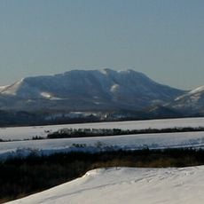
Mount Shari, Stratovolcano in Shiretoko Peninsula, Japan

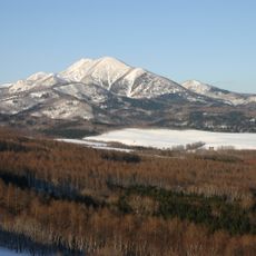
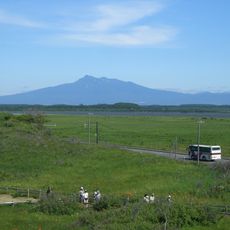
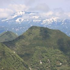
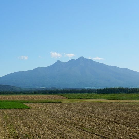
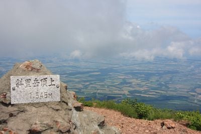
Mount Shari is a Quaternary stratovolcano and lava dome complex of andesite, dacite and basalt, 1,547 m high, on the borders of Shari, Kiyosato and Shibetsu. Its summit holds the main peak, Southern Mount Shari and a western ridge, ringed by explosion craters. Seen from Shari town it forms a balanced triangle; from Kiyosato two peaks stand out. A stone tablet on an andesite outcrop reads 岳頂上 .545M.

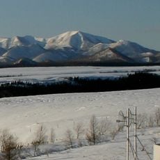
Mount Shari is a Quaternary volcano of the Akan-Shiretoko volcanic chain, active roughly 300,000 to 250,000 years ago. Yasuda Tomoki and colleagues divide its growth into an older stage, when central eruptions built the main stratovolcano and dykes intruded it, and a younger stage, when basalt and andesite lavas covered the flanks after an erosional pause. In March 1928 Tadahei Hara and Seiki Nakano made the first winter ascent.

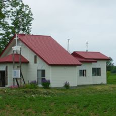
The Ainu name Onnenupuri means "great (old) mountain"; the name Shari itself refers to marshes where reeds grow. Since 1935 a small shrine, Shari-dake Jinja, has stood just below the summit, and the mountain appears as Shari-dake in Edo-period records such as the Kondo Juzo text and the 1856 Kyowa Shieki.

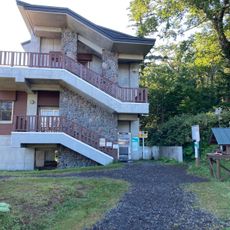
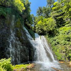
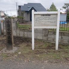
The Kiyosato route is the most popular; its trailhead sits at the Seigakuso hut on the fifth station, where the path splits at the lower junction into an old valley route and a new ridge route via Kumami Pass. Sharibus runs from Shiretokoshari Station three times a day, the first at 6:30. The Shari (Toyosato) route climbs from the Shari side through a dry stream bed called Tamaishi-no-sawa.

A stone tablet set into an andesite outcrop near the summit reads "岳頂上" above ".545M", marking the top at 1,545 m even though the official summit height is 1,547 m. The summit area also holds the main peak, Southern Mount Shari and the western peak, with several explosion craters around them.

The community of curious travelers

AroundUs brings together thousands of curated places, local tips, and hidden gems, enriched daily by 93,850 contributors worldwide.
Start exploring
Location
Location
Location
Elevation above the sea
1,547 m
Made from material
andesite
Part of
100 Famous Japanese Mountains
GPS coordinates
43.76573,144.71767
Latest update
October 29, 2026 01:35
Reviews
Share your experience

No review yet

Discussions
Start a discussion...

No discussion yet

« Mount Shari - Stratovolcano in Shiretoko Peninsula, Japan » is provided by Around Us (aroundus.com). Images and texts are derived from Wikimedia project under a Creative Commons license. You are allowed to copy, distribute, and modify copies of this page, under the conditions set by the license, as long as this note is clearly visible.

Discover hidden gems everywhere you go!

From secret cafés to breathtaking viewpoints, skip the crowded tourist spots and find places that match your style. Our app makes it easy with voice search, smart filtering, route optimization, and insider tips from travelers worldwide. Download now for the complete mobile experience.

Around Us App Screenshot
❝

A unique approach to discovering new places❞

— Le Figaro

❝

All the places worth exploring❞

— France Info

❝

A tailor-made excursion in just a few clicks❞

— 20 Minutes

Around Us
Travel Guide & Maps
Download

Send to your phone

QR Code
1

Open the camera app on your mobile.

2

Point at the QR code with your camera. A notification will appear.

3

Tap the notification to open the link.