Iburi Subprefecture, Administrative division in Hokkaido, Japan.
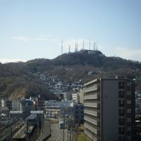
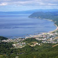
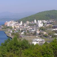
Iburi Subprefecture is an administrative region in south-central Hokkaido with Pacific Ocean access and mountainous landscapes. It comprises eleven municipalities spread across the southern coastline and inland areas.
The region was originally founded as Muroran Subprefecture in 1897 and received its present name Iburi in 1922 following administrative reorganization. This name change marked a significant restructuring of administrative boundaries across Hokkaido.
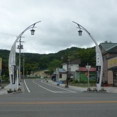
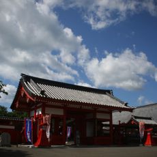
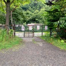
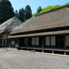
The eleven municipalities maintain local traditions through festivals and Ainu cultural heritage sites that reflect the original inhabitants' way of life. Visitors can experience these traditions firsthand at coastal communities and during local celebrations throughout the year.
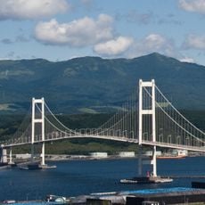
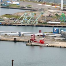
The region has multiple transportation hubs including Tomakomai and Muroran ports that connect visitors and goods. These major transport nodes make it easy to arrive and explore different locations throughout the subprefecture.
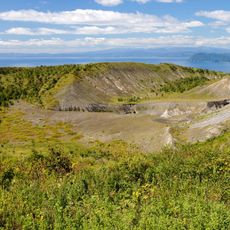
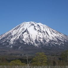
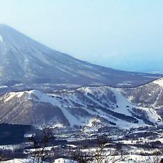
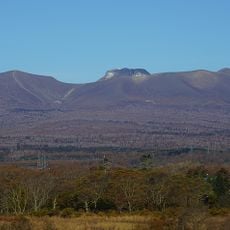
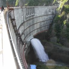
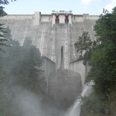
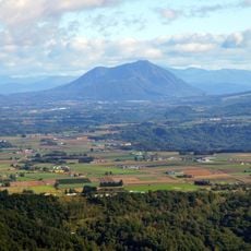
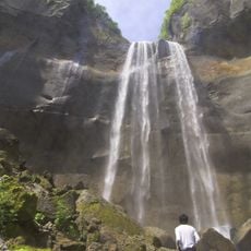
The region contains natural hot springs in Noboribetsu and volcanic formations at Lake Toya that indicate active geothermal activity. These geological features have shaped the landscape and attract visitors seeking to explore these natural wonders.
The community of curious travelers
AroundUs brings together thousands of curated places, local tips, and hidden gems, enriched daily by 60,000 contributors worldwide.