Enable Location

We need your location to show you interesting places around you

Discover nearby places

Find interesting locations and hidden gems around you

Precise directions

Get accurate directions and distances to places

Your location is never shared with other users. It's only used when you tap the location button.

Kitakogane Shell Mound

Log in to your account

Start exploring — it's free

Trusted by 61,371 travelers worldwide

Continue with Google
Continue with Apple
or

We will send you a code to connect

By continuing, you accept our Terms and Conditions and our Privacy Policy

Check your inbox

We've sent a pincode in your inbox. Please enter the code below.

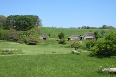
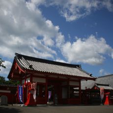
Kitakogane Shell Mound, Archaeological midden in Date, Japan.

Description

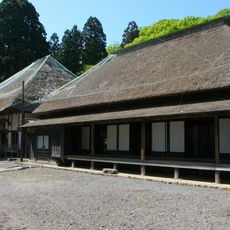
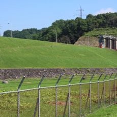
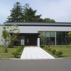
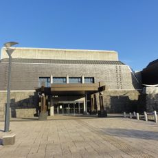
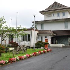
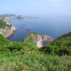
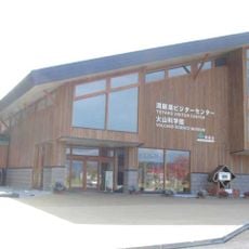
Kitakogane Shell Mound occupies a hilltop between 10 and 20 meters high, built up over centuries from shells, fish bones, and stone tools discarded by early inhabitants overlooking Uchiura Bay. The on-site information center displays excavated items including pottery, hunting tools, and marine remains documenting prehistoric daily life.

History

The settlement emerged around 5000 BCE as a coastal community centered on harvesting marine resources and subsistence hunting visible in the excavated pit dwellings and burial grounds. The site documents how early populations adapted to life along protected waters with reliable food sources.

Culture

The site reveals burial customs intertwined with animal remains, where deer skulls were positioned near human graves as part of community rituals. This arrangement shows how hunting and spiritual beliefs shaped daily life in this ancient settlement.

Practical

Visitors can join guided tours offered at the site to better understand the excavated layers and structures over time. The location sits on elevated ground, so paths and stairs may be involved when exploring the mound itself.

Did you know?

Near a spring within the site, a dense concentration of grinding stones and milling basins shows where ancient people intentionally disposed of worn-out tools. This specialized work area reveals how communities managed the lifecycles of their equipment near reliable water sources.

Location
Part of
Jōmon Prehistoric Sites in Northern Japan
GPS coordinates
42.40220,140.91170
Latest update
December 8, 2025 19:47

AroundUs brings together thousands of curated places, local tips, and hidden gems, enriched daily by 60,000 contributors worldwide. Discover all places nearby (Date).

« Kitakogane Shell Mound - Archaeological midden in Date, Japan » is provided by Around Us (aroundus.com). Images and texts are derived from Wikimedia project under a Creative Commons license. You are allowed to copy, distribute, and modify copies of this page, under the conditions set by the license, as long as this note is clearly visible.

Discover hidden gems everywhere you go!

From secret cafés to breathtaking viewpoints, skip the crowded tourist spots and find places that match your style. Our app makes it easy with voice search, smart filtering, route optimization, and insider tips from travelers worldwide. Download now for the complete mobile experience.

Around Us App Screenshot

A unique approach to discovering new places

Le Figaro

All the places worth exploring

France Info

A tailor-made excursion in just a few clicks

20 Minutes

Around Us
Travel Guide & Maps
Download

Send to your phone

QR Code
1

Open the camera app on your mobile.

2

Point at the QR code with your camera. A notification will appear.

3

Tap the notification to open the link.