Mamurogawa, town in Mogami District, Yamagata Prefecture, Japan
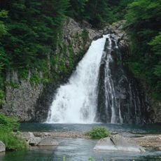
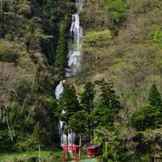
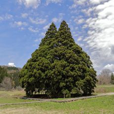
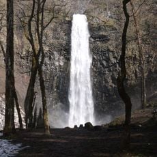
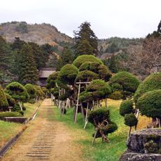
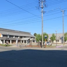
Mamurogawa is a small town in Mogami district, located in the mountainous north of Yamagata Prefecture and known for its many plum trees and spring blossoms. The area sits surrounded by low mountains with open farmland growing rice and other crops between forests and gentle hills.
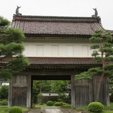
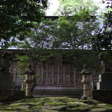
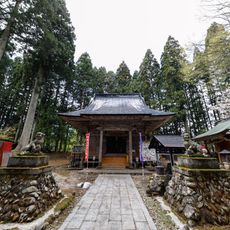
The town has roots in the ancient Dewa Province and was home to Sakenobe Castle during the Sengoku period. It became a village in 1889 and a town in 1950, with forestry and farming shaping its economic development throughout.
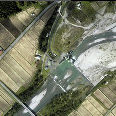
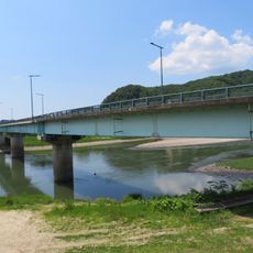
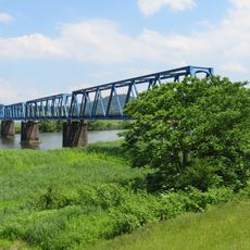
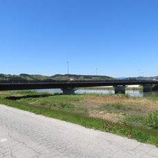
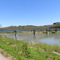
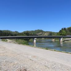
The name Mamurogawa references the Mamuro River that flows through the area. The town keeps its identity through local crafts and old buildings that show how forestry and farming shaped its way of life.
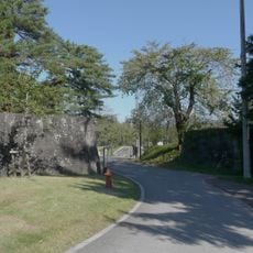
The town is easily reached by train from Shinjo Station and only a short walk from Mamurogawa Station to the main parks. The climate is humid continental with cold winters and warm summers, so bring clothing suited to the season you visit.
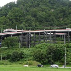
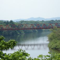
Visitors can ride an old forest railway truck that once carried timber workers, offering a rare glimpse into how the town's economy once relied on logging. This experience connects travelers directly to the forestry heritage that shaped the place.
The community of curious travelers
AroundUs brings together thousands of curated places, local tips, and hidden gems, enriched daily by 60,000 contributors worldwide.