
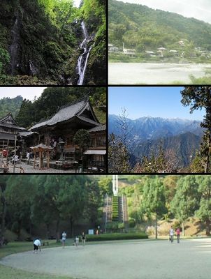
Kamiyama, town in Myōzai district, Tokushima prefecture, Japan
Location: Tokushima Prefecture
Location: Myozai District
Inception: March 31, 1955
Website: https://www.town.kamiyama.lg.jp/
Shares border with: Tokushima, Yoshinogawa, Mima, Ishii, Naka, Kamikatsu, Sanagochi
Website: https://town.kamiyama.lg.jp
GPS coordinates: 33.96722,134.35050
Latest update: May 27, 2025 11:18

Kamiyama Marugoto College of Design, Engineering and Entrepreneurship
1.3 km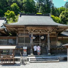
Shousan-ji
4.2 km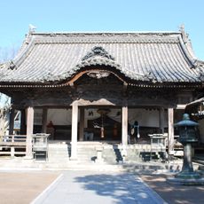
Dainichi-ji
13 km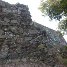
Ichinomiya Castle
12.8 km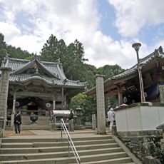
Fujii-dera
9.4 km
Ichinomiya-jinja
13 km
善入寺島
12.4 km
Dōgaku-ji
12.4 km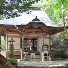
Jigen-ji
8 km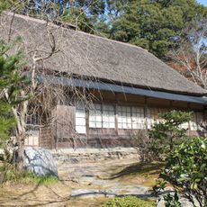
三木家住宅
13.4 km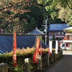
Konjiji
9.9 km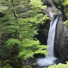
Ogama Falls
11.4 km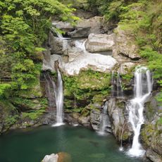
大轟の滝
13.6 km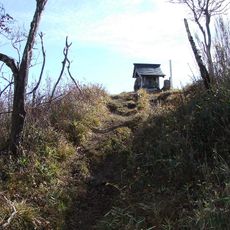
Mount Kumosa
8.6 km
Joushin-an
3.3 km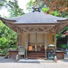
Kurotaki-ji
13.8 km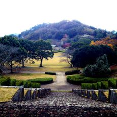
Kamiyama Forest Park
9.1 km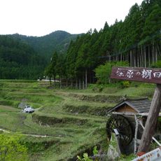
Kashihara no Tanada
9.4 km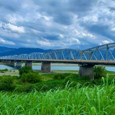
阿波中央橋
13.4 km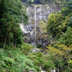
Kanjogataki Falls
7.8 km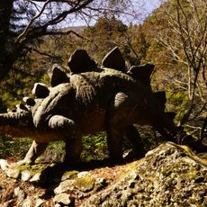
恐竜の里
13 km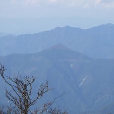
Mount Tōgū
10.8 km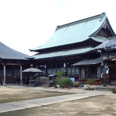
報恩寺
10.5 km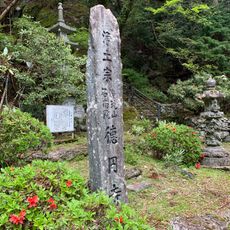
徳円寺 (佐那河内村)
9.9 km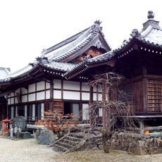
Hōzō-ji (Sanagōchi, Tokushima)
10.2 km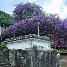
神光寺
5.7 km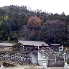
妙法寺
6.3 km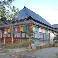
Kuninaka-ji
13.8 kmReviews
Visited this place? Tap the stars to rate it and share your experience / photos with the community! Try now! You can cancel it anytime.
Discover hidden gems everywhere you go!
From secret cafés to breathtaking viewpoints, skip the crowded tourist spots and find places that match your style. Our app makes it easy with voice search, smart filtering, route optimization, and insider tips from travelers worldwide. Download now for the complete mobile experience.

A unique approach to discovering new places❞
— Le Figaro
All the places worth exploring❞
— France Info
A tailor-made excursion in just a few clicks❞
— 20 Minutes