Sumita, town in Kesen district, Iwate prefecture, Japan
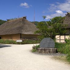
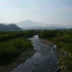
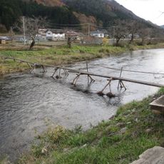
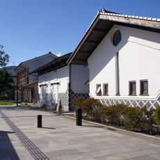
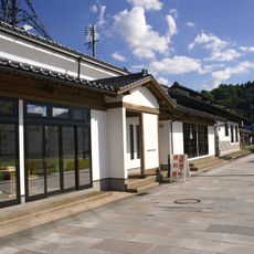
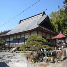
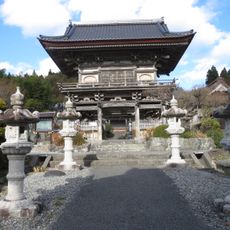
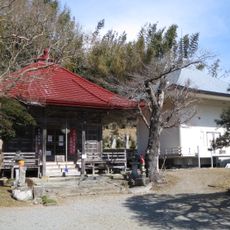
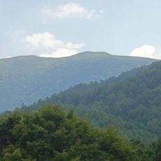
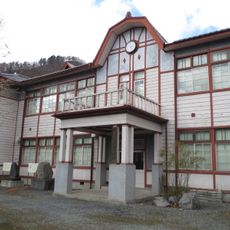
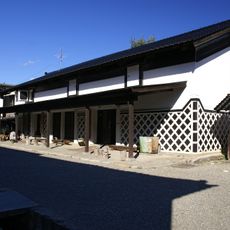
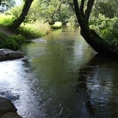
Sumita is a small town in the Kesen district surrounded by mountains and forests, with the Kesen River flowing through its center. The buildings consist mainly of older wooden structures, small shops and cafes line quiet streets, and residents move about slowly by foot or bicycle.
During Japan's Edo period, Sumita served as an important trading post where merchants and travelers exchanged rice for seafood while moving between coast and inland. The town took its current form in the 1950s when several smaller villages merged together.
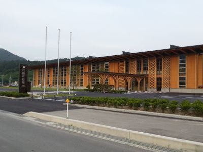
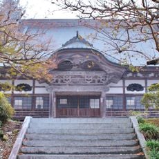
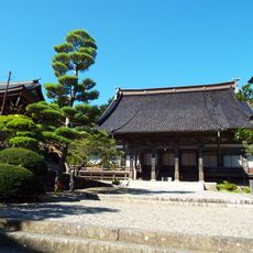
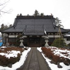
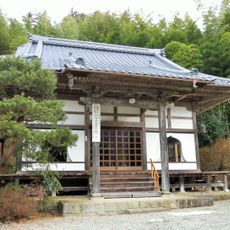
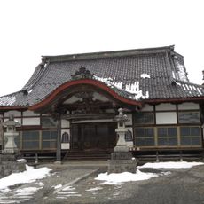
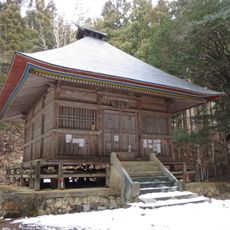
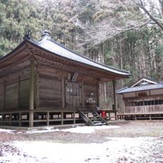
Sumita's name reflects its past as a trading post connecting coastal and inland regions. Today, residents keep alive traditional woodworking techniques using local Kesen cedar, visible in temple architecture and public buildings throughout the town.
The town is accessible by train on the Kamaishi Line and connected to nearby areas by National Routes 107 and 340. Visitors find easy walking paths along rivers and through forests, with straightforward access to natural sites like Rokando Cave and Mount Goyo.
Rokando Cave holds Japan's tallest underground waterfall at roughly 29 meters and contains fossils of ancient sea creatures from when the land was submerged. This single site reveals thousands of years of the region's geological history before the land emerged.
The community of curious travelers
AroundUs brings together thousands of curated places, local tips, and hidden gems, enriched daily by 60,000 contributors worldwide.