Enable Location

We need your location to show you interesting places around you

Discover nearby places

Find interesting locations and hidden gems around you

Precise directions

Get accurate directions and distances to places

Your location is never shared with other users. It's only used when you tap the location button.

Moroyama

Log in to your account

Start exploring — it's free

Trusted by 61,961 travelers worldwide

Continue with Google
Continue with Apple
or

We will send you a code to connect

By continuing, you accept our Terms and Conditions and our Privacy Policy

Check your inbox

We've sent a pincode in your inbox. Please enter the code below.

Moroyama, Rural town in Iruma district, Japan.

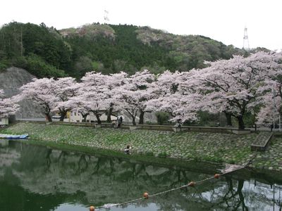
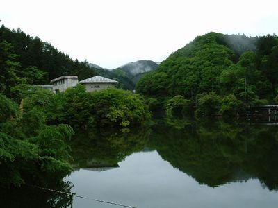
Moroyama is a town in Iruma District where gentle mountains from the Chichibu range slope toward the Kanto Plain, with the highest points reaching about 400 meters. The area is connected by the JR East Hachiko Line and Tobu Railway Ogose Line, integrating it with surrounding regions.

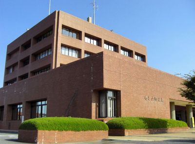
The area holds numerous archaeological sites from the Jomon period, revealing that people lived here for thousands of years. In 1889, Moro village became a formal administrative entity within Iruma District.

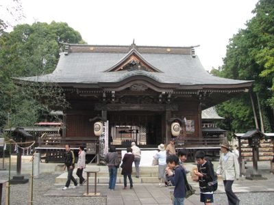
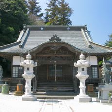
The Izumo Iwai Shrine keeps alive the practice of Yabusame, a form of mounted archery that connects visitors to historical martial traditions. People in the community gather for these demonstrations, showing how the practice remains woven into local life.

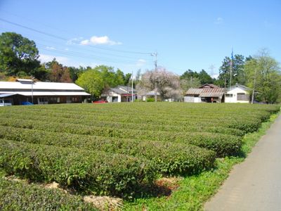
The town is easy to navigate and explore since the two railway lines connect the main areas and offer good orientation. Visitors can walk through hilly regions, while the flatter areas remain easily accessible on foot.

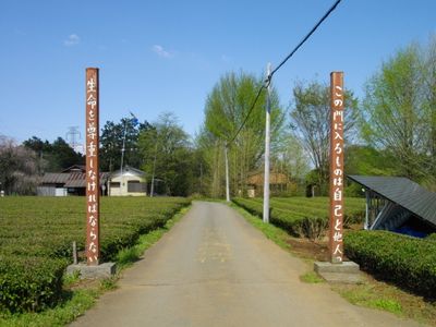
In 1939, author Saneatsu Mushanokoji established Atarashiki-mura, an agricultural commune designed as an experimental community model based on shared farming. This attempt at communal living and self-sufficiency left a lasting mark on the area's character.

The community of curious travelers

AroundUs brings together thousands of curated places, local tips, and hidden gems, enriched daily by 60,000 contributors worldwide.

Start exploring
Location
Inception
April 1, 1889
Reference
113263
Shares border with
Sakado, Hidaka, Hannō, Ogose, Hatoyama
Address
〒350-0493 埼玉県入間郡毛呂山町中央2丁目1番地
GPS coordinates
35.94153,139.31600
Latest update
December 17, 2025 07:55
« Moroyama - Rural town in Iruma district, Japan » is provided by Around Us (aroundus.com). Images and texts are derived from Wikimedia project under a Creative Commons license. You are allowed to copy, distribute, and modify copies of this page, under the conditions set by the license, as long as this note is clearly visible.

Discover hidden gems everywhere you go!

From secret cafés to breathtaking viewpoints, skip the crowded tourist spots and find places that match your style. Our app makes it easy with voice search, smart filtering, route optimization, and insider tips from travelers worldwide. Download now for the complete mobile experience.

Around Us App Screenshot

A unique approach to discovering new places

Le Figaro

All the places worth exploring

France Info

A tailor-made excursion in just a few clicks

20 Minutes

Around Us
Travel Guide & Maps
Download

Send to your phone

QR Code
1

Open the camera app on your mobile.

2

Point at the QR code with your camera. A notification will appear.

3

Tap the notification to open the link.