Rikubetsu, Agricultural town in Tokachi Subprefecture, Japan
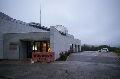
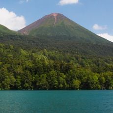
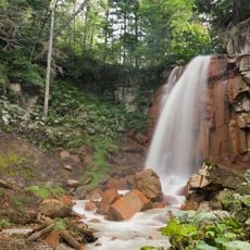
Rikubetsu is a town in eastern Hokkaido that sits on the Tokachi Plain at an altitude of 207 meters (680 ft), covering an area of 608 square kilometers. The landscape is defined by agricultural land with wide open spaces and expansive views across flat terrain.
The settlement began as a small farming community and became an official town in 1923. It gained formal administrative status in 1953, completing its transformation into a recognized municipality.
The town's two official mascots represent how the cold climate shapes local identity and connects the community with international cultural exchange. Residents embrace these symbols as part of their everyday connection to the place.
Local transportation networks connect the town with major Hokkaido cities, with the journey from Sapporo taking around four hours by car through eastern regional roads. Visitors should prepare for extremely cold winters when traveling here, as conditions become severe during the colder months.
Winter temperatures drop to around minus 33 degrees Celsius, making this the coldest inhabited place in Japan. This extreme climate shapes daily life, infrastructure, and how residents adapt their routines throughout the year.
The community of curious travelers
AroundUs brings together thousands of curated places, local tips, and hidden gems, enriched daily by 60,000 contributors worldwide.