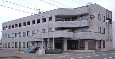
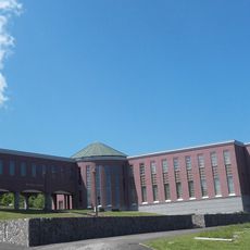
Enbetsu, town in Teshio district, Hokkaidō, Japan
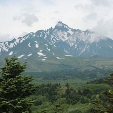
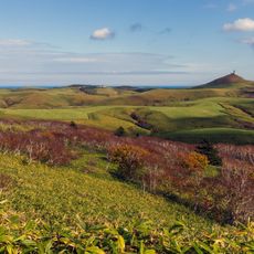
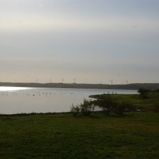
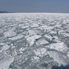
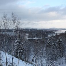
Enbetsu is a small town on Hokkaido in northern Japan, located in Teshio district near the Sea of Japan. The Enbetsu River runs through it from the Teshio Mountains to the sea, bordered by rice paddies that stretch across the flat landscape.
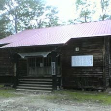
The town was founded in the late 1800s when settlers like Gentarō Shirahata arrived in 1896 to farm. Enbetsu became independent from Teshio in 1909 and gained town status in 1949, but later experienced significant population decline as residents moved to larger cities.
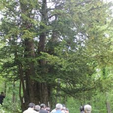
The name Enbetsu comes from the Ainu language and refers to the river running through the town. Residents maintain local customs and traditions, particularly during seasonal events that celebrate farming and the connection to the sea.
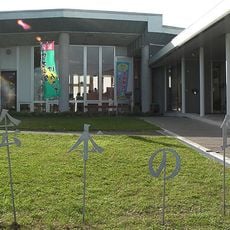
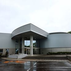
Visitors can drive from Sapporo in about four hours or take buses from nearby towns. The river and coastline offer good routes for walking and exploring, while local infrastructure is simple and functional.
The rice paddies here are the northernmost in Japan where rice is successfully grown. This distinction makes local agriculture remarkable and contributes to the town's identity.
The community of curious travelers
AroundUs brings together thousands of curated places, local tips, and hidden gems, enriched daily by 60,000 contributors worldwide.