Mount Ena, Mountain summit in Gifu Prefecture, Japan.
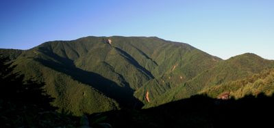
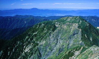
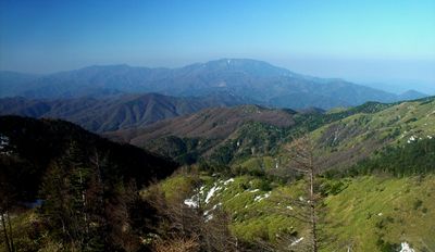
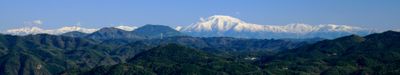
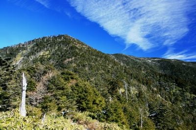
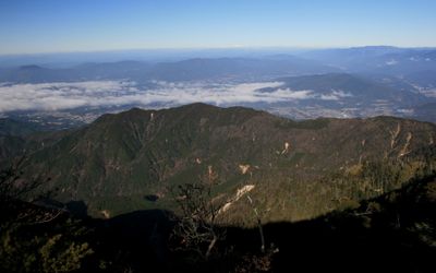
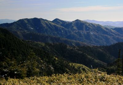
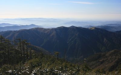
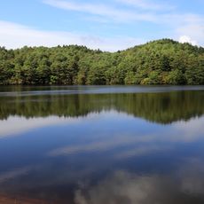
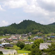
Mount Ena rises 2,191 meters (7,188 feet) above sea level as the southernmost peak of the Central Alps, situated between Nagano and Gifu prefectures. The mountain offers multiple routes to the summit, each following different paths through forests and alpine terrain.
The mountain gained its name during Emperor Tensho's birth, when ceremonial offerings were presented to the peak according to ancient customs. This imperial connection established the mountain's place in Japanese history.
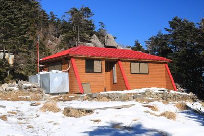
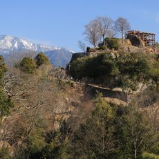
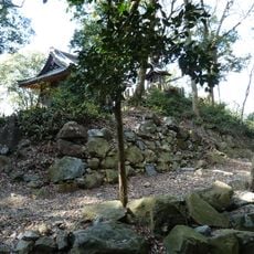
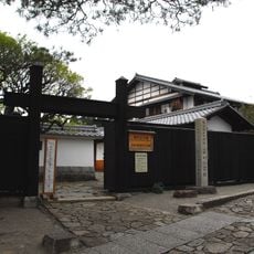
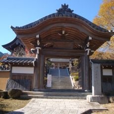
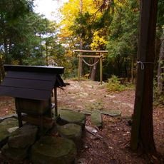
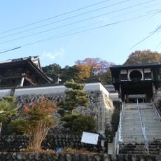
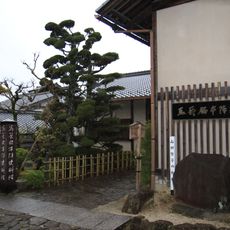
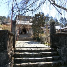
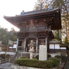
Five shrines dot the slopes and summit, serving as places of prayer and reflection for visitors and showing how the mountain functions as a spiritual center. These religious sites are woven into the landscape, connecting people to the sacred nature of the peak.
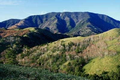
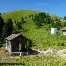
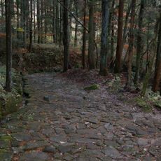
Four main hiking routes reach the summit: Kuroisawa, Misaka Pass, Hirogawara, and Maemiya trails each suit different fitness levels. Choose your route based on your experience and how much time you want to spend on the mountain.
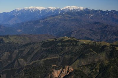
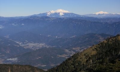
When viewed from Noubi Plain, the mountain's silhouette resembles a large comb, leading locals to call it Mount Funafuse as an alternative name. This nickname reveals how geography shaped the way people saw and named the peak.
The community of curious travelers
AroundUs brings together thousands of curated places, local tips, and hidden gems, enriched daily by 60,000 contributors worldwide.