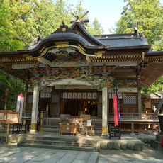
Nagatoro, Mountain resort town in Chichibu district, Japan
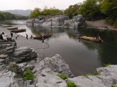
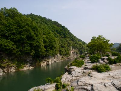
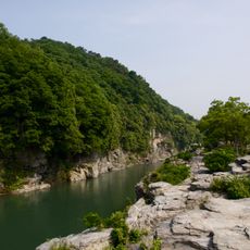
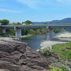
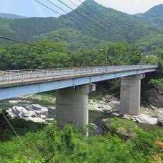
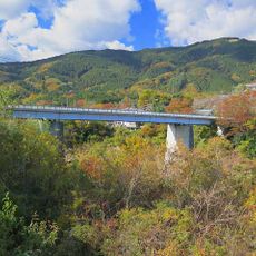
Nagatoro is a town in the Chichibu district along the Arakawa River, where a stretch of valley features dramatic rock formations shaped by geological processes over millions of years. The landscape creates a varied setting of steep banks, calm pools, and layered stone faces that draw visitors year-round.
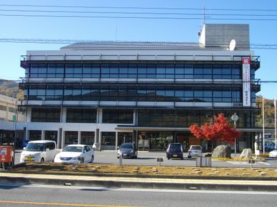
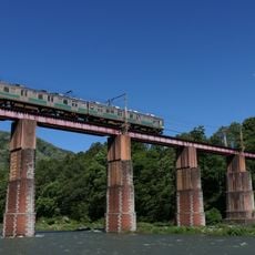
The town became an official municipality in 1889 and gradually developed into a tourism destination based on its natural river landscape and outdoor activities. River boating became the primary draw starting in the early 20th century and remains central to local life today.
The annual Funadama Festival in mid-August brings the community together with illuminated boats and fireworks on the river. This celebration shows how deeply the town's identity is tied to the water and its role in daily life.
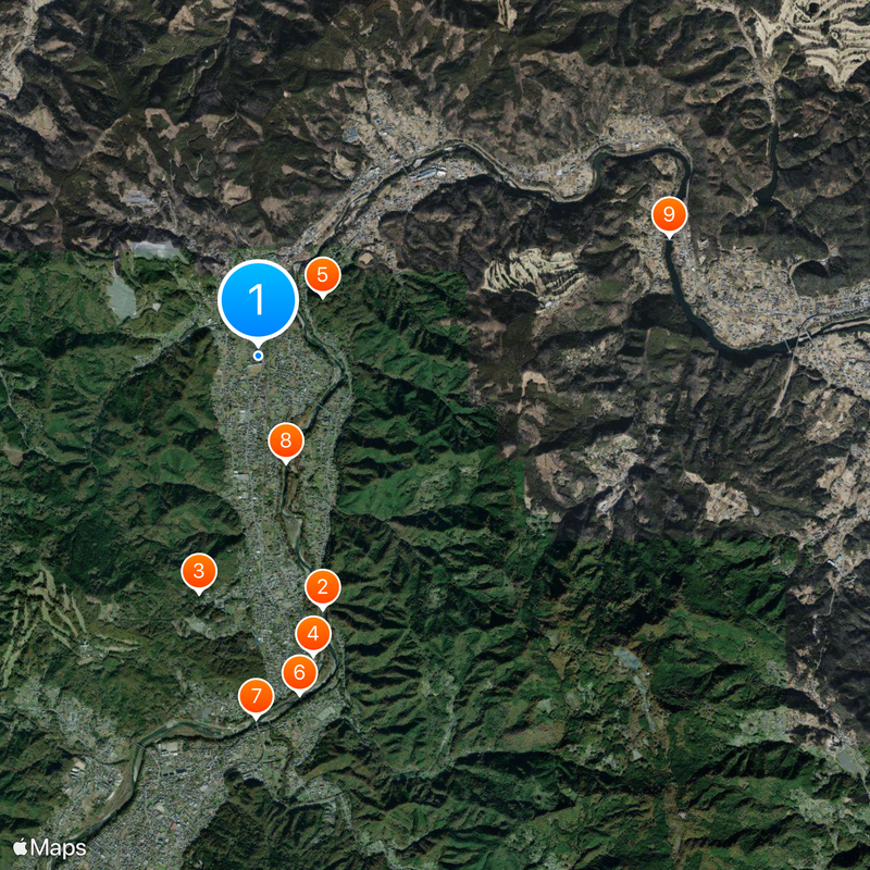
Visitors should plan their trip during the drier months when water conditions are most stable for river activities. The main pathways and boat routes are easy to access from the town center, though proper footwear and caution around water are always recommended.
The Iwadatami rock formation spans roughly 500 meters along the riverbank with blocks arranged in layers that resemble traditional Japanese floor mats. The natural pattern is so striking that it inspired the area's name, and visitors are often surprised by how geometric and intentional the arrangement appears.
The community of curious travelers
AroundUs brings together thousands of curated places, local tips, and hidden gems, enriched daily by 60,000 contributors worldwide.