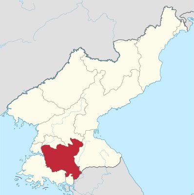
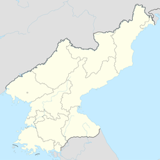
North Hwanghae Province, Administrative province in western North Korea.
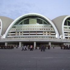
North Hwanghae Province sits in western North Korea between the Yellow Sea and the Korean Demilitarized Zone. Sariwon serves as its administrative center, and the region features wide agricultural plains that spread across the landscape.
The province came into being in 1954 when the historic Hwanghae Province was divided following Korea's partition. This restructuring was part of the territorial reorganization that the country went through at that time.
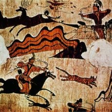
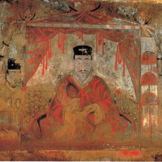
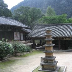
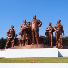
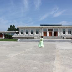
The province holds remains from the Koguryo period, including the Anak Tomb Number 3, which visitors can see with its ancient stone structures. Buddhist temples dot the landscape and show the religious history that shaped people's lives.
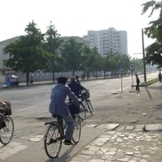
The region is shaped by agriculture and grain farming, which defines daily life and local infrastructure. Visitors should keep in mind that accessibility and service availability are limited in less populated areas.
The North Korean maritime boundary, known as the Northern Limit Line, creates a complex situation in the region's western coastal waters. This disputed maritime area has been a point of political discussion for decades.
The community of curious travelers
AroundUs brings together thousands of curated places, local tips, and hidden gems, enriched daily by 60,000 contributors worldwide.