Chest opened
+${chestReward.xp} XP
Explorer
NOUVEAU ×${chestReward.collectible.quantity}
tapez pour fermer
Chest locked

Open chests in the app

Around Us is built for your phone — chests unlock when you walk, explore and capture nearby places.

Enable Location

We need your location to show you interesting places around you

Discover nearby places

Find interesting locations and hidden gems around you

Precise directions

Get accurate directions and distances to places

Your location is never shared with other users. It's only used when you tap the location button.

Log in to your account

Start exploring — it's free

Trusted by 72,889 travelers worldwide

Continue with Google
Continue with Apple
or

We will send you a code to connect

By continuing, you accept our Terms and Conditions and our Privacy Policy

Check your inbox

We've sent a pincode in your inbox. Please enter the code below.

Daryalyktakyr
Discussion Reviews Photo
1.7k Popularity

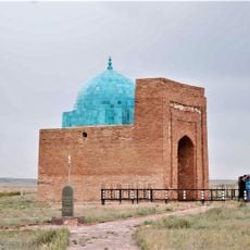
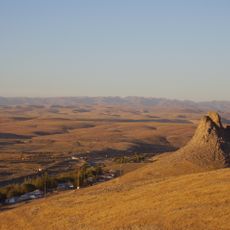
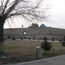
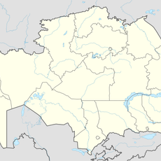
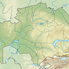
Daryalyktakyr, Desert plateau in Qyzylorda Region, Kazakhstan.

Daryalyktakyr is a vast plateau covered with dry clay soil that stretches across central Kazakhstan in the region where the Syr Darya basin influences the landscape. The terrain consists of flat expanses of hardened earth with minimal vegetation, forming an open space that extends far in all directions.

Over many centuries, this plateau served as a passage for Kazakh nomadic groups who moved with their herds according to seasonal grazing needs. The routes they took shaped how the landscape was used and traveled through over time.

Local inhabitants have built knowledge about living with this harsh landscape, understanding how rainfall patterns change the terrain and how to identify water sources throughout the seasons. This practical wisdom has shaped how communities move through and use the plateau today.

The terrain is relatively open and accessible, but visitors should prepare for extreme desert conditions with intense heat and limited water availability in the area. Bring sufficient supplies and sun protection, as the flat landscape offers no natural shelter.

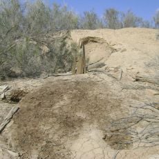
During dry periods, the clay surface develops distinctive crack patterns and polygonal shapes that form geometric designs visible from above. These natural formations result from soil shrinkage and reveal the underlying geological processes at work on the plateau.

The community of curious travelers

AroundUs brings together thousands of curated places, local tips, and hidden gems, enriched daily by 60,000 contributors worldwide.

Start exploring
GPS coordinates
45.41667,65.33333
Latest update
December 14, 2025 12:20
Reviews
Share your experience

No review yet

Discussions
Start a discussion...

No discussion yet

« Daryalyktakyr - Desert plateau in Qyzylorda Region, Kazakhstan » is provided by Around Us (aroundus.com). Images and texts are derived from Wikimedia project under a Creative Commons license. You are allowed to copy, distribute, and modify copies of this page, under the conditions set by the license, as long as this note is clearly visible.

Discover hidden gems everywhere you go!

From secret cafés to breathtaking viewpoints, skip the crowded tourist spots and find places that match your style. Our app makes it easy with voice search, smart filtering, route optimization, and insider tips from travelers worldwide. Download now for the complete mobile experience.

Around Us App Screenshot

A unique approach to discovering new places

Le Figaro

All the places worth exploring

France Info

A tailor-made excursion in just a few clicks

20 Minutes

Around Us
Travel Guide & Maps
Download

Send to your phone

QR Code
1

Open the camera app on your mobile.

2

Point at the QR code with your camera. A notification will appear.

3

Tap the notification to open the link.