
Natural Monument "Fire Hill"
Natural Monument "Fire Hill"
Location: Zerendi District
Part of: Kokshetau National Park
GPS coordinates: 52.89650,68.99110
Latest update: March 31, 2025 13:41

Burabay National Park
90.1 km
Zhumbaktas
87.1 km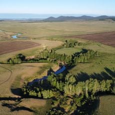
Kokshetau National Park
35.1 km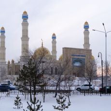
Nauan Hazrat Mosque
51.4 km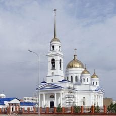
Church of the Resurrection, Kokshetau
51.8 km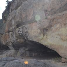
Kenesary Cave
86.4 km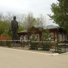
Museum of History of Kokshetau
49.5 km
Kokshetau's Tatar Mosque
50.2 km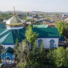
Church of the Holy Archangel Michael, Kokshetau
49.4 km
St George's Church, Kokshetau
49.7 km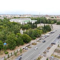
City Park, Kokshetau
50.4 km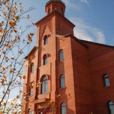
Church of St. Anthony of Padua, Kokshetau
49.1 km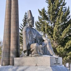
Abylai Khan monument
50.5 km
Okzhetpes Stadium
50.9 km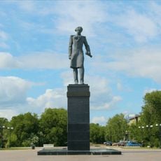
Shoqan Walikhanov monument, Kokshetau
50.5 km
Akmola Regional Museum of History and Local Lore
50.7 km
Янгуразов көпестің үйі
219.2 km
Residential house and shop of merchant A. V. Sokolov
50.6 km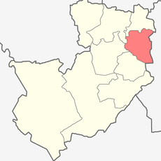
Kima District
196.7 km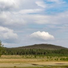
State Natural Monument "Relic pond"
112.4 km
Natural Monument "Raspberry cape"
8.1 km
State Natural Monument "Green cape"
8.3 km
Vladimir Lenin monument, Kokshetau
50.4 km
Natural Monument "Jackdaw hill"
116.8 km
Natural Monument "Rock sediments "Pot""
46.1 km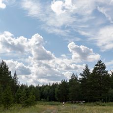
State Natural Monument "Sharp hill «Helmet»"
115.8 km
Orlinogor State Nature Sanctuary (botanical)
106.9 km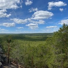
State Natural Monument "Piceous hill"
9.3 kmVisited this place? Tap the stars to rate it and share your experience / photos with the community! Try now! You can cancel it anytime.
Discover hidden gems everywhere you go!
From secret cafés to breathtaking viewpoints, skip the crowded tourist spots and find places that match your style. Our app makes it easy with voice search, smart filtering, route optimization, and insider tips from travelers worldwide. Download now for the complete mobile experience.

A unique approach to discovering new places❞
— Le Figaro
All the places worth exploring❞
— France Info
A tailor-made excursion in just a few clicks❞
— 20 Minutes