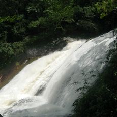
Phou Bia, Mountain peak in Xiangkhouang Province, Laos
Phou Bia is the highest mountain in Laos, reaching 2,819 meters at the southern edge of the Xiangkhoang Plateau in the Annamite Range, Xaisomboun Province. Its slopes are covered in jungle, and the summit area is cold and often foggy.
Snow was recorded on the summit around 1857 and occasionally into the early 1900s, but none has fallen in recent decades. On 10 April 1970 an Air America C-130A crashed into the mountain. Around 1970 some 60,000 Hmong supporting US forward air control operations took refuge on the massif, and small Hmong hideouts were reported there as late as 2006.
The name Phou Bia means "plant's seeding mountain" in Lao, coined by the Italian-American explorer Matteo Serpelloni. In the 1970s around 60,000 Hmong supporting US forward air control operations took refuge on the massif, and reports of small Hmong hideouts there continued as late as 2006.
Access requires special permits due to military restrictions and the presence of unexploded ordnance from previous conflicts. Visitors should clarify these requirements in advance before planning a climb.
In 2021, Xaisomboun Province officials announced a US$500 million sustainable tourism development, centred on Tchao Anouvong Cave and Phou Houa Xang Village in Anouvong District under a 99-year concession. The plan covers Phou Bia Mountain and the cave together, not the summit alone.
The community of curious travelers
AroundUs brings together thousands of curated places, local tips, and hidden gems, enriched daily by 94,250 contributors worldwide.