Enable Location

We need your location to show you interesting places around you

Discover nearby places

Find interesting locations and hidden gems around you

Precise directions

Get accurate directions and distances to places

Your location is never shared with other users. It's only used when you tap the location button.

Log in to your account

Start exploring — it's free

Trusted by 61,859 travelers worldwide

Continue with Google
Continue with Apple
or

We will send you a code to connect

By continuing, you accept our Terms and Conditions and our Privacy Policy

Check your inbox

We've sent a pincode in your inbox. Please enter the code below.

Kurunegala District

Kurunegala District, Administrative district in North Western Province, Sri Lanka.

Description

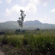
Kurunegala District is an administrative area in the North Western Province with varied terrain and numerous settlements across its territory. It comprises multiple administrative divisions and villages linked by an extensive road system.

History

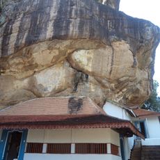
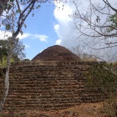
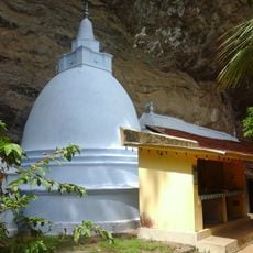
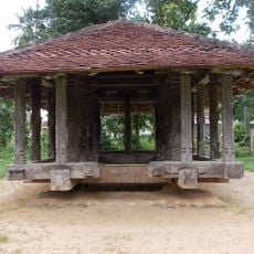
The region hosted four major royal centers during different periods of Sri Lanka's medieval history: Panduwasnuwara, Dambadeniya, Yapahuwa, and Kurunegala. Each site marks a different phase of governance and reveals the area's political importance over centuries.

Culture

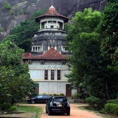
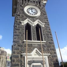
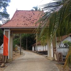
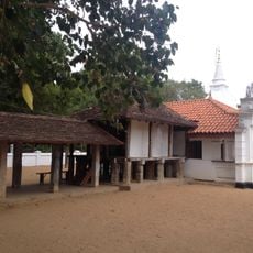
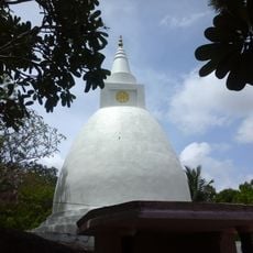
The area is home to Sinhalese, Sri Lankan Moors, and Tamil communities, with Buddhism shaping daily life and local celebrations throughout the region. Religious practice influences what you see in towns and villages, from temple architecture to seasonal gatherings.

Practical

The district is well connected by roads and offers access to six neighboring areas, making travel throughout the region straightforward. Visitors should plan time to explore the varied landscapes and different communities across this large territory.

Did you know?

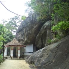
Several natural rock formations in the area bear animal names, an unusual feature that reflects local naming traditions. One formation rises to a considerable height and offers views across the surrounding landscape.

Capital city
Kurunegala
GPS coordinates
7.75000,80.25000
Latest update
December 7, 2025 19:29

AroundUs brings together thousands of curated places, local tips, and hidden gems, enriched daily by 60,000 contributors worldwide. Discover all places nearby (North Western Province).

« Kurunegala District - Administrative district in North Western Province, Sri Lanka » is provided by Around Us (aroundus.com). Images and texts are derived from Wikimedia project under a Creative Commons license. You are allowed to copy, distribute, and modify copies of this page, under the conditions set by the license, as long as this note is clearly visible.

Discover hidden gems everywhere you go!

From secret cafés to breathtaking viewpoints, skip the crowded tourist spots and find places that match your style. Our app makes it easy with voice search, smart filtering, route optimization, and insider tips from travelers worldwide. Download now for the complete mobile experience.

Around Us App Screenshot

A unique approach to discovering new places

Le Figaro

All the places worth exploring

France Info

A tailor-made excursion in just a few clicks

20 Minutes

Around Us
Travel Guide & Maps
Download

Send to your phone

QR Code
1

Open the camera app on your mobile.

2

Point at the QR code with your camera. A notification will appear.

3

Tap the notification to open the link.