Aukštaitija, Historical region in northeastern Lithuania
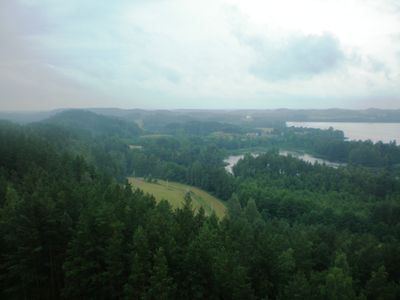
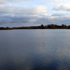
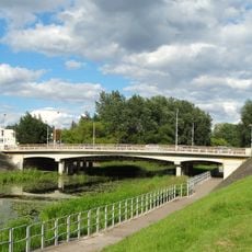
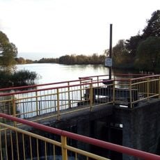
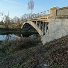
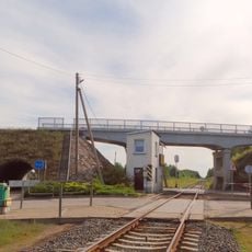
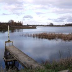
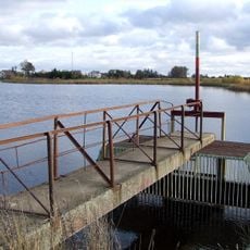
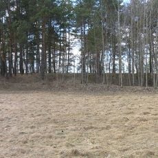
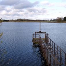
Aukštaitija is a region in northeastern Lithuania characterized by dense forests, rolling hills, and numerous lakes scattered throughout the landscape. Rivers wind through the territory, creating waterways that shape the natural environment and connect different parts of the area.
The region served as the center of early Lithuanian statehood in the 13th century, with Kernavė emerging as a key settlement. Over time, the focus of power shifted, but the area remained an important inhabited part of the emerging nation.
Residents speak their own East Aukštaitian dialect with distinct pronunciation and vocabulary that sets them apart from other Lithuanian regions. You notice this local speech immediately when walking through villages and listening to everyday conversations.
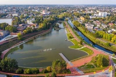
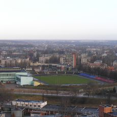
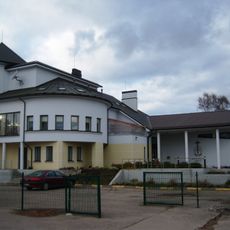
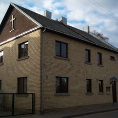
The city of Panevėžys serves as a natural base for exploring the region with shops and services readily available. From there, you can easily reach lakes, forests, and rural villages throughout the area.
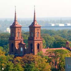
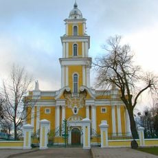
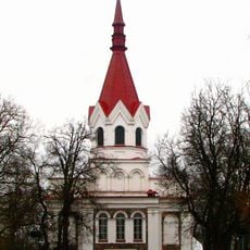
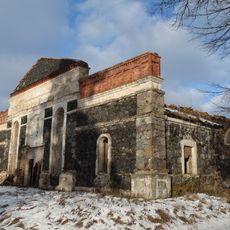
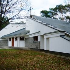
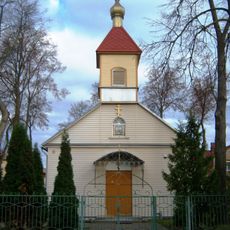
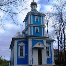
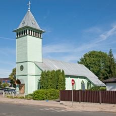
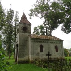
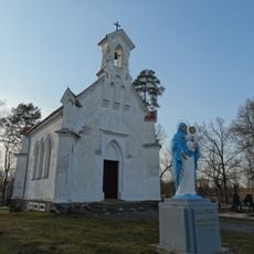
The northwestern section contains brick churches built before 1860 rather than wooden ones, a result of timber scarcity at that time. This architectural choice reveals how local resources shaped building practices in the area.
Capital city: Panevėžys
GPS coordinates: 55.72500,24.36389
Latest update: December 20, 2025 15:22
Aukštaitija Stadium
1.6 km
Juozas Miltinis Drama Theatre
431 m
Church of St. Peter and St. Paul, Panevėžys
880 m
Panevėžys Cathedral
539 m
Church of the Holy Trinity, Panevėžys
396 m
Ekrano gamyklos tvenkinys
1.7 km
Nevėžninkų koplyčia
10.1 km
Church in Berčiūnai
7.9 km
Panevėžio Švč. Mergelės Marijos Nekaltojo Prasidėjimo koplyčia
1.7 km
Old Believers Church in Panevėžys
984 m
Orthodox church in Panevėžys
579 m
Evangelical Lutheran Church in Panevėžys
624 m
Panevėžys Smėlynė street bridge
600 m
Staniūnų tvenkinys
6.7 km
Paliūniškio tiltas
9.1 km
Papušiai hillfort
9.6 km
New Apostolic Church in Panevėžys
983 m
Panevėžys narrow gauge viaduct
2.9 km
Paviešečių tvenkinys
5.4 km
Molainių I tvenkinys
4.8 km
Kiūčiai hillfort
10.4 km
Molainių II tvenkinys
4.9 km
Panevėžio laisvųjų krikščionių bažnyčia
996 m
Velžys chapel
5.4 km
Evangelical Lutheran chapel in Panevėžys
1.1 km
Marijonava chapel
10 km
Sodeliškiai windmill
11.4 km
Panevėžio senvagės tvenkinys
651 mVisited this place? Tap the stars to rate it and share your experience / photos with the community! Try now! You can cancel it anytime.
Discover hidden gems everywhere you go!
From secret cafés to breathtaking viewpoints, skip the crowded tourist spots and find places that match your style. Our app makes it easy with voice search, smart filtering, route optimization, and insider tips from travelers worldwide. Download now for the complete mobile experience.
A unique approach to discovering new places❞
— Le Figaro
All the places worth exploring❞
— France Info
A tailor-made excursion in just a few clicks❞
— 20 Minutes