
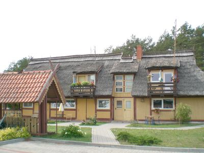
Pervalka, human settlement in Lithuania
Location: Preilos-Pervalkos Eldership
GPS coordinates: 55.41472,21.09750
Latest update: April 1, 2025 23:12
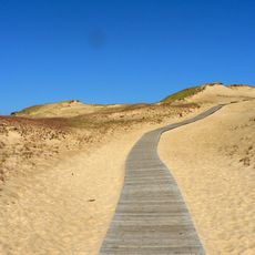
Curonian Spit National Park
7.4 km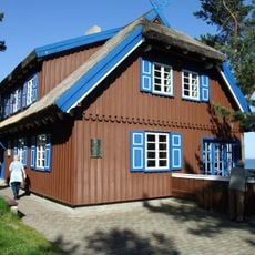
Thomas Mann Memorial Museum
12.3 km
Hill of Witches
13.7 km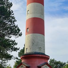
Nida Lighthouse
13.8 km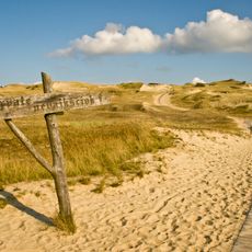
Nagliai Nature Strict Reserve
6.5 km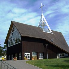
Church of the Blessed Virgin Mary, Help of Christians, Nida
13.9 km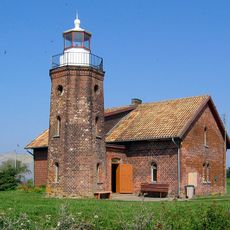
Cape Vente Lighthouse
10.1 km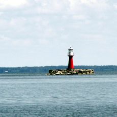
Pervalka Lighthouse
1.2 km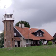
Uostadvaris lighthouse
14.6 km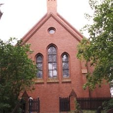
Evangelical Lutheran Church in Nida
13.1 km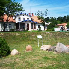
Purvynė
11.4 km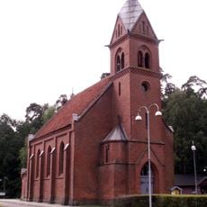
Evangelical Lutheran Church in Juodkrantė
13.1 km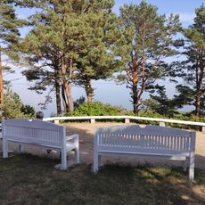
Italian View
12.4 km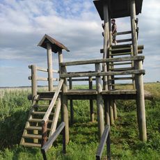
Krokų lanka Watchtower
14.1 km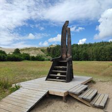
Neringos krėslas
14.6 km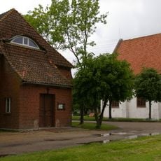
Evangelical Lutheran Church in Kintai
10.5 km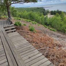
Parnidžio Educational Trail
14.6 km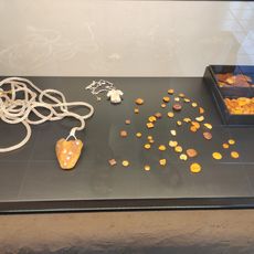
Amber Gallery-Museum, Nida
13.1 km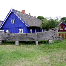
Nida Fisherman's Ethnographic Homestead
13.9 km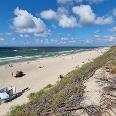
Nida Nudist Beach
14.9 km
UNESCO Memorial in Nida
14 km
Parnidis sundial
14.9 km
Aplink Žirgų ragą
455 m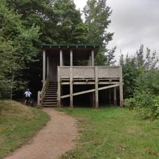
Ventė Watchtower
9.8 km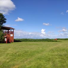
Kintai Watchtower
9.6 km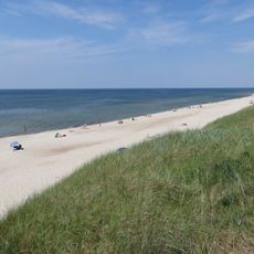
Nidos
13.1 km
Sekluma Kalva
10.2 km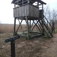
Observation tower in Pervalka, Neringa
477 mReviews
Visited this place? Tap the stars to rate it and share your experience / photos with the community! Try now! You can cancel it anytime.
Discover hidden gems everywhere you go!
From secret cafés to breathtaking viewpoints, skip the crowded tourist spots and find places that match your style. Our app makes it easy with voice search, smart filtering, route optimization, and insider tips from travelers worldwide. Download now for the complete mobile experience.

A unique approach to discovering new places❞
— Le Figaro
All the places worth exploring❞
— France Info
A tailor-made excursion in just a few clicks❞
— 20 Minutes