
Rūdiškės, human settlement
Location: Trakai District Municipality
Inception: 1774
Elevation above the sea: 147 m
GPS coordinates: 54.51389,24.82778
Latest update: March 4, 2025 22:26
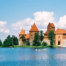
Trakai Island Castle
16.9 km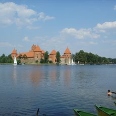
Trakai Historical National Park
15.6 km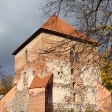
Trakai Peninsula Castle
16.3 km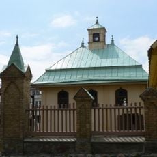
Trakai Kenesa
16.4 km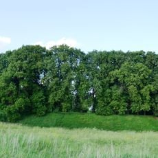
Senieji Trakai Castle
14.3 km
Aukštadvaris Regional Park
16.6 km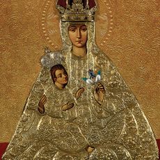
The Mother of God of Trakai
15.9 km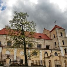
Church of the Visitation, Trakai
15.9 km
Church of St. Philip and St. Jacob, Onuškis
15.5 kmStrėvos įgriuva
11.8 km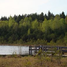
Varnikai Botanical-Zoological Preserve
17 kmSenųjų Trakų Viešpaties Apreiškimo vienuolynas
14.3 km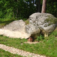
Nikronių akmuo
15.6 km
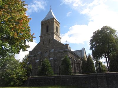
Church of the Sacred Heart of Jesus, Rūdiškės
186 m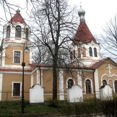
Orthodox church in Trakai
15.7 km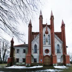
Church of the Annunciation, Senieji Trakai
14.3 km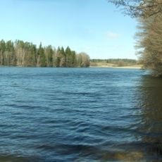
Isper
12.6 km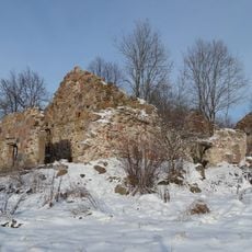
Daugirdiškės manor
15.4 km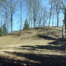
Strėva hillfort
12 km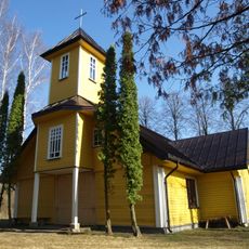
Church of St. Anthony of Padua, Vytautava
8.1 km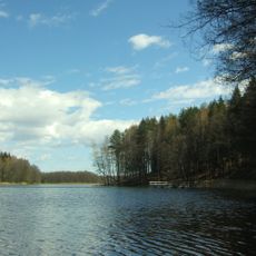
Ilgutis Botanical Reserve
6.4 km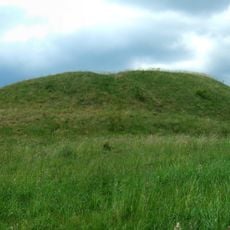
Žuklijai 1st hillfort
9.4 km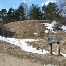
Varnikai hillfort
17 km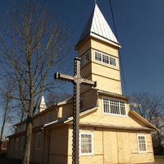
Church of St. John the Baptist, Paluknys
10.3 km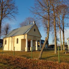
Gojus chapel
9 kmMirgelių piliakalnis
17.1 kmII grodzisko Żukleje
9.5 kmSenųjų Macelių pilkapynas
16 kmVisited this place? Tap the stars to rate it and share your experience / photos with the community! Try now! You can cancel it anytime.
Discover hidden gems everywhere you go!
From secret cafés to breathtaking viewpoints, skip the crowded tourist spots and find places that match your style. Our app makes it easy with voice search, smart filtering, route optimization, and insider tips from travelers worldwide. Download now for the complete mobile experience.

A unique approach to discovering new places❞
— Le Figaro
All the places worth exploring❞
— France Info
A tailor-made excursion in just a few clicks❞
— 20 Minutes