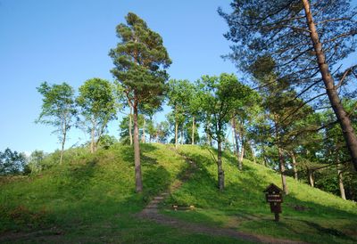
Pūčkoriai hillfort, Archaeological hillfort in Vilnius, Lithuania
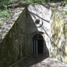
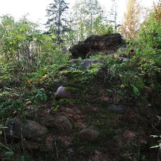
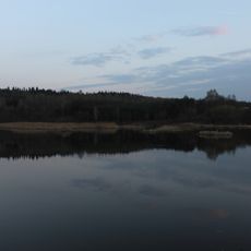
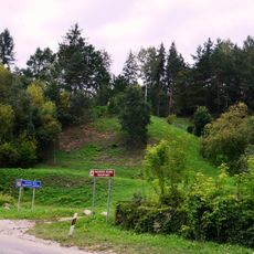
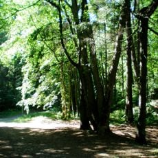
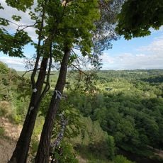
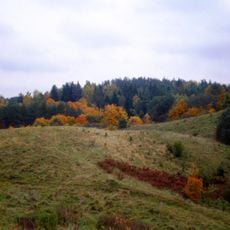
Pūčkoriai hillfort is an ancient fortified settlement built on elevated terrain near the Neris River in Lithuania. The site features earthen ramparts and reveals the typical layout of early Lithuanian defensive structures constructed to command the surrounding landscape.
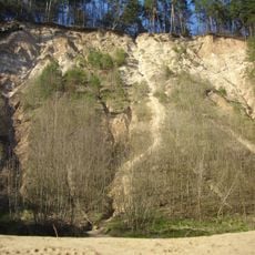
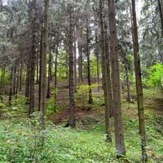
The site dates to the Iron Age and shows signs of continuous settlement in the region over centuries. Archaeological digs have revealed multiple phases of occupation, revealing how communities adapted and rebuilt fortifications across different periods.
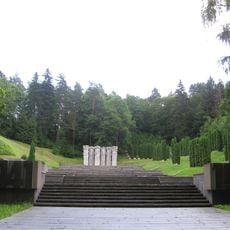
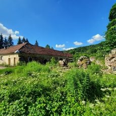
The site functions as an educational center where visitors learn about Lithuanian defensive structures and early settlement development through informational displays.
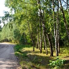
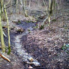
Sturdy footwear is needed as the terrain is uneven and can become slippery after rain. Visitors should plan enough time for the climb and come prepared for a moderately physically demanding walk to fully explore the site.
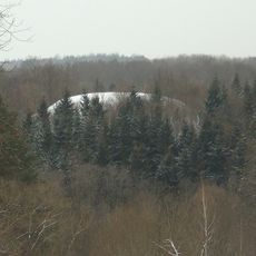
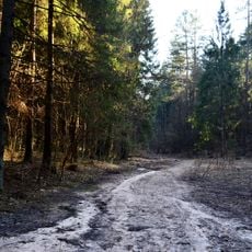
The site is connected by walking trails to several other fortified settlements across Vilnius County, offering visitors a way to compare different defensive structures. This network reveals how early Lithuanian communities positioned their fortifications in relation to each other and the landscape.
Location: Vilnius County
Website: http://piliakalniai.lt/piliakalnis.php?piliakalnis_id=746
GPS coordinates: 54.68922,25.36947
Latest update: December 9, 2025 20:27
Pūčkoriai outcrop
1.1 km
Pavilnys Regional Park
2.6 km
Memorial of Red Army soldiers in Vilnius
3.1 km
Church of St. Casimir, Naujoji Vilnia
2.8 km
Rokantiškės
2 km
Aukštasis Pavilnys
1.9 km
Bunkers in Antakalnis
2.7 km
Church of the Blessed Virgin Mary, Queen of Peace, Naujoji Vilnia
2.8 km
Žemasis Pavilnys
1 km
Sapieginė
3 km
Rokantiškės Castle
1.4 km
Pūčkoriai Manor
649 m
Orthodox Church of St. Peter and St. Paul, Vilnius
1.9 km
Rokantiškės hillfort
2.4 km
Pavilnys church
1.9 km
Markučiai Landscape Reserve
2.7 km
Rokantiškių tvenkinys
918 m
Belmonto tvenkinys
563 m
Panorama z góry Nowowilejskiej
1.1 km
Naujosios Vilnios pilkapynas
1.3 km
Antakalnis Landscape Reserve
2.8 km
Pūčkoriai Landscape Reserve
1.3 km
Lyglaukiai Geomorphological Reserve
3.1 km
Belmontas Botanical-zoological Reserve
3 km
Iškartai Landscape Reserve
2.5 kmTuputiškiai Geomorphological Reserve
1.2 km
Ancučiai Landscape Reserve
1.2 km
Tuputiškiai Botanical Reserve
293 mVisited this place? Tap the stars to rate it and share your experience / photos with the community! Try now! You can cancel it anytime.
Discover hidden gems everywhere you go!
From secret cafés to breathtaking viewpoints, skip the crowded tourist spots and find places that match your style. Our app makes it easy with voice search, smart filtering, route optimization, and insider tips from travelers worldwide. Download now for the complete mobile experience.
A unique approach to discovering new places❞
— Le Figaro
All the places worth exploring❞
— France Info
A tailor-made excursion in just a few clicks❞
— 20 Minutes