
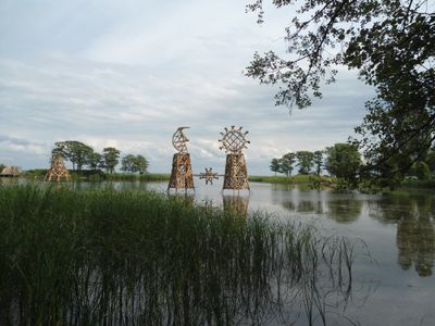
Gintaro įlanka, settlement, Neringa, Lithuania
Location: Juodkrantė
Part of: Juodkrantė
GPS coordinates: 55.55317,21.12567
Latest update: March 4, 2025 03:17
Curonian Spit National Park
8.2 km
Hill of Witches
2 km
Nagliai Nature Strict Reserve
9.2 km
Debrecenas
14.2 km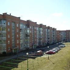
Laukininkai
13.3 km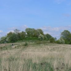
Žardės piliakalnis
12.2 km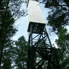
Juodkrantė Lighthouse
722 m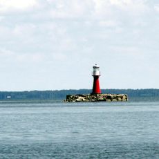
Pervalka Lighthouse
14.9 km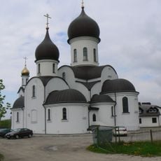
Pokrovo-Micolaus Orthodox church
13.4 km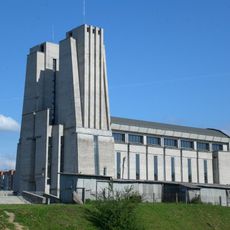
Church of St. Joseph the Worker, Klaipėda
13.3 km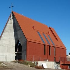
Church of Bruno of Querfurt, Klaipėda
14.9 km
Bandužiai
13.1 km
Baltija
14.6 km
Evangelical Lutheran Church in Juodkrantė
2.4 km
Klaipėdos naujoji apaštalų bažnyčia
14.4 km
Laistų piliakalnis
11.8 km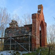
Stragnai chapel
12.6 km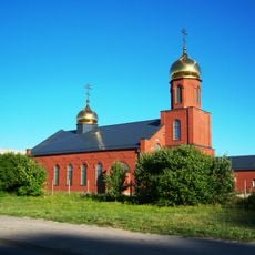
Old Believers Church in Klaipėda
13.3 km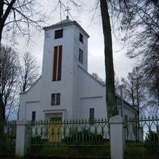
Church of St. Anthony of Padua, Priekulė
12 km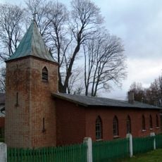
Evangelical Lutheran Church in Priekulė
12.1 km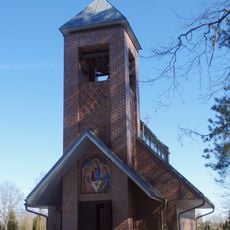
Our Lady of the Gate of Dawn chapel, Lėbartai
14 km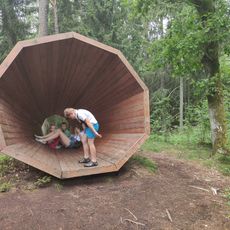
Garsų Gaudyklė
411 m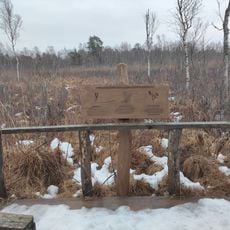
Tyrų takas
6.6 km
Pažintinis dendrologinis takas
499 m
Stragnų kapinynas
15 km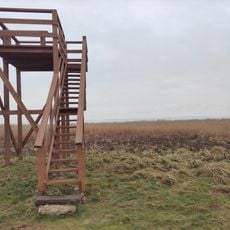
Tyrų Takas Lookout Towers
5.4 km
Bear's Head viewing platform
10 km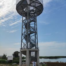
Dreverna's sightseeing tower
8 kmReviews
Visited this place? Tap the stars to rate it and share your experience / photos with the community! Try now! You can cancel it anytime.
Discover hidden gems everywhere you go!
From secret cafés to breathtaking viewpoints, skip the crowded tourist spots and find places that match your style. Our app makes it easy with voice search, smart filtering, route optimization, and insider tips from travelers worldwide. Download now for the complete mobile experience.

A unique approach to discovering new places❞
— Le Figaro
All the places worth exploring❞
— France Info
A tailor-made excursion in just a few clicks❞
— 20 Minutes