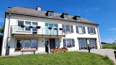
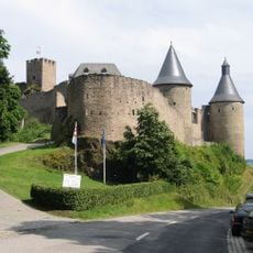
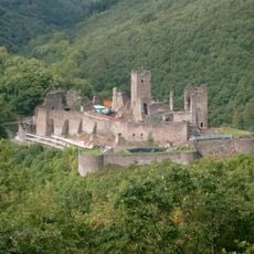
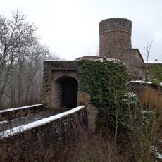
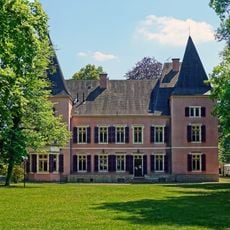
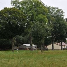
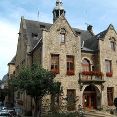
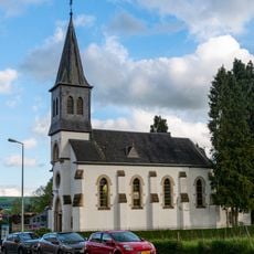
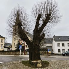
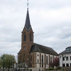
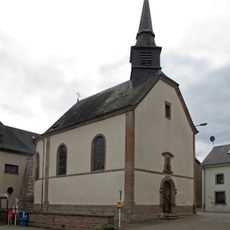
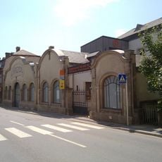
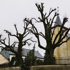
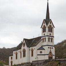
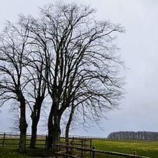
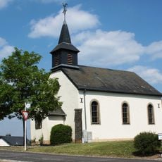
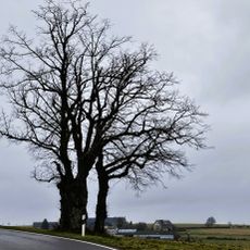
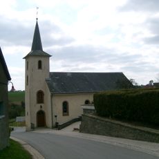
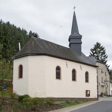
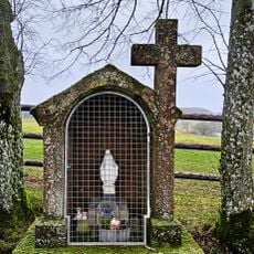
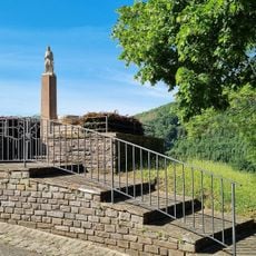
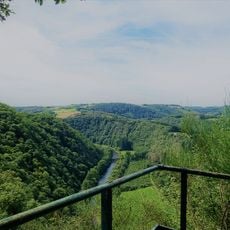
Bourscheid, commune and small town in north-eastern Luxembourg
Location: Canton of Diekirch
Capital city: Bourscheid
Elevation above the sea: 458 m
Shares border with: Kiischpelt, Esch-sur-Sûre, Feulen, Ettelbruck, Erpeldange, Tandel, Putscheid, Parc Hosingen, Goesdorf
Address: Bourscheid, Luxembourg
Website: http://bourscheid.lu
GPS coordinates: 49.90917,6.06278
Latest update: April 20, 2025 10:43
Bourscheid Castle
1.3 km
National Museum of Military History
8.1 km
Brandenbourg Castle
5.4 km
Schuttbourg
6.7 km
Erpeldange Castle
6.5 km
Municipal Park (Diekirch)
8.2 km
Pont Patton
7.3 km
Flebour
3.1 km
Mairie d'Ettelbréck
7.5 km
Église Sainte-Anne
6.3 km
Tilia in Bastendorf
7.6 km
Église Saint-Roch
6.2 km
Patton Square
7.3 km
Käschtebam bei Branebuerg
6.4 km
Chapelle Saint-Antoine-l'Ermite
7.2 km
Conservatoire national de véhicules historiques
8.3 km
Lannen zu Laaschent
5 km
Église Saint-Jacques-le-Majeur
2.5 km
Däichhal
7.6 km
Lanne beim Wandhaff
4.3 km
Chapelle Saint-Aubin
8 km
Lannen op der Scheedelerknupp
2.1 km
Église Saint-Remi
7.4 km
Chapelle Saint-Michel
5 km
Weekräiz beim Wandhaff
4.3 km
Saint Donatus statue Michelau
2.3 km
Gringlee
2.2 km
Priedegtstull
4.3 kmVisited this place? Tap the stars to rate it and share your experience / photos with the community! Try now! You can cancel it anytime.
Discover hidden gems everywhere you go!
From secret cafés to breathtaking viewpoints, skip the crowded tourist spots and find places that match your style. Our app makes it easy with voice search, smart filtering, route optimization, and insider tips from travelers worldwide. Download now for the complete mobile experience.
A unique approach to discovering new places❞
— Le Figaro
All the places worth exploring❞
— France Info
A tailor-made excursion in just a few clicks❞
— 20 Minutes