Tinghir, human settlement
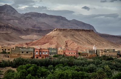
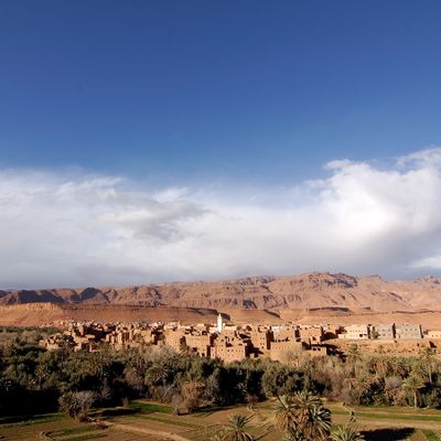
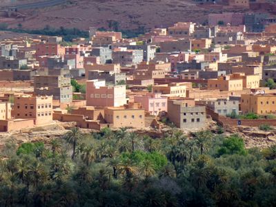
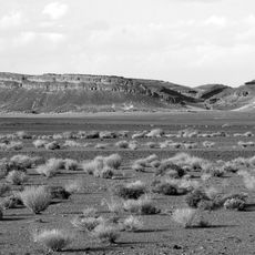
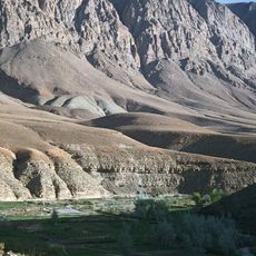
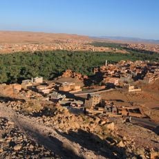
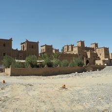
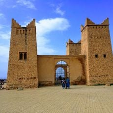
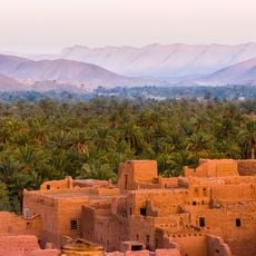
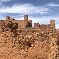
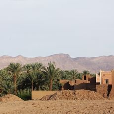
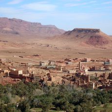
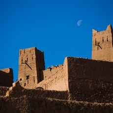
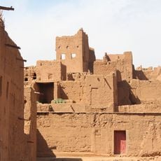
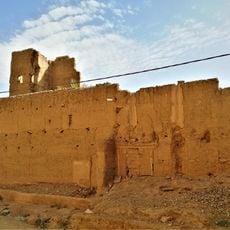
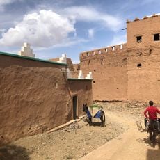
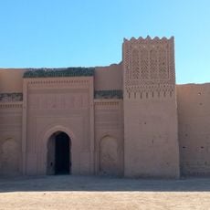
Tinghir is an urban commune in southern Morocco, set at the edge of the Dades Valley between the High Atlas and the Jebel Saghro. Buildings are mainly made from local stone and clay, with flat roofs and narrow lanes that provide shade on hot days.
Tinghir was once a stopping point for caravans traveling between the Sahara and the cities of northern Morocco. That position helped it develop over time into a local trading and supply center for the surrounding region.
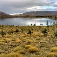
Tinghir is a gathering place where people are deeply connected to the land and water around them. The central market square shows daily life in action, where locals come together, sell traditional food, and display handmade goods that reflect their practical and steady way of living.
Tinghir has basic accommodations and restaurants, and the town center is easy to get around on foot. It works well as a base for day trips to the surrounding valleys and natural sites nearby.
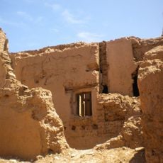
Tinghir was once home to one of the oldest Jewish communities in southern Morocco, and traces of their presence can still be seen in certain parts of the old town. This layer of history is rarely mentioned but adds a depth to the place that many visitors walk past without noticing.
The community of curious travelers
AroundUs brings together thousands of curated places, local tips, and hidden gems, enriched daily by 60,000 contributors worldwide.