
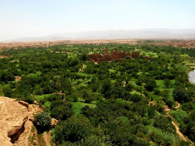
Kalaat M'Gouna, human settlement
Location: Tinghir Province
Elevation above the sea: 1,457 m
GPS coordinates: 31.24139,-6.12833
Latest update: March 3, 2025 23:49
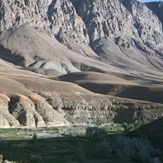
Dadès Gorges
43.8 km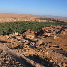
Todgha Gorge
63 km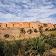
Ksar of Taourirt
81.8 km
موقع ايواريضن
91.8 km
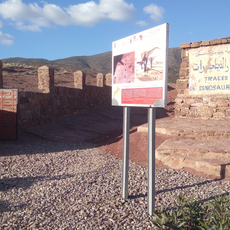
Fezouata formation
82.3 km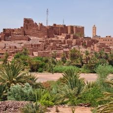
Kasbah of Tifoultoute
89.3 km
El Mansour Ad Dahbi Reservoir
69.8 km
Imi-n-Ifri Formation
92.7 km
Oasis du Sud Marocain Biosphere Reserve
94.2 km
Cinema Museum
81.7 km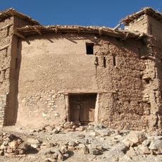
Timit
55 km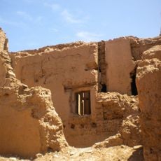
Ksar of Beni Zouli
92.1 km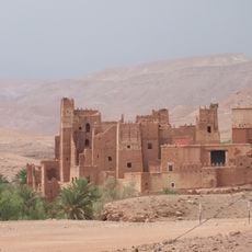
Ksar of Tamdakht
98.3 km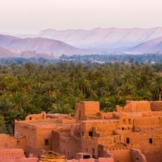
Ksar of Tamnougalt
67.3 km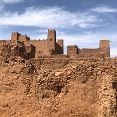
Ksar of Igharghar
64.7 km
Ibakliwin
53.6 km
Ksar of Tansikht
62.2 km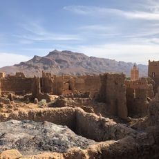
Ksar of Awriz
68.7 km
Azilal museum
90.5 km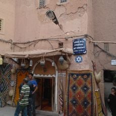
Bet Knesset Synagogue
81.7 km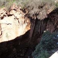
Iminifri Cave
96.4 km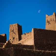
Ksar of Oulad Othmane
71 km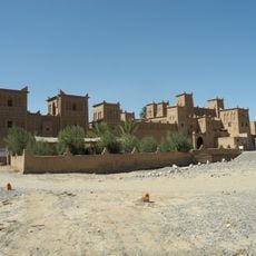
Kasbah Amridil
48.3 km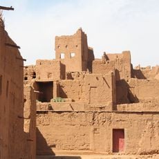
Ksar of Al Borj
66.9 km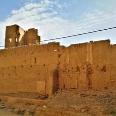
Ksar of Tiguit
66.8 km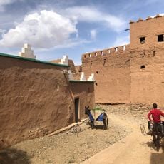
Ksar of Aramd
68.2 km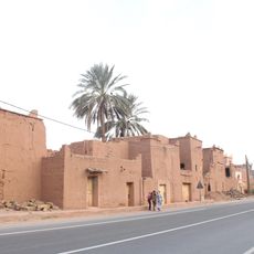
Ksar of Tamezmoute
64.1 kmReviews
Visited this place? Tap the stars to rate it and share your experience / photos with the community! Try now! You can cancel it anytime.
Discover hidden gems everywhere you go!
From secret cafés to breathtaking viewpoints, skip the crowded tourist spots and find places that match your style. Our app makes it easy with voice search, smart filtering, route optimization, and insider tips from travelers worldwide. Download now for the complete mobile experience.

A unique approach to discovering new places❞
— Le Figaro
All the places worth exploring❞
— France Info
A tailor-made excursion in just a few clicks❞
— 20 Minutes