
Bni Oual, rural commune in Morocco
Location: Sidi Kacem Province
GPS coordinates: 34.43333,-5.40000
Latest update: April 11, 2025 20:09
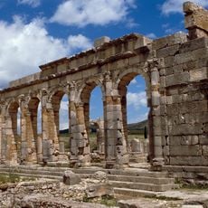
Volubilis
42.7 km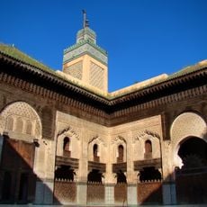
Bou Inania Madrasa
56.4 km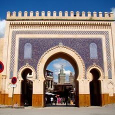
Bab Bou Jeloud
56.4 km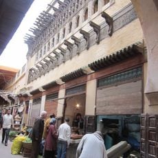
Dar al-Magana
56.4 km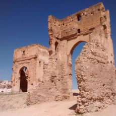
Marinid Tombs
56 km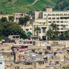
El-Jamai Palace
56.4 km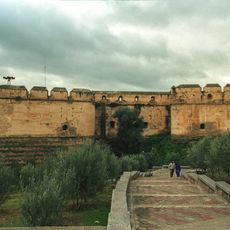
Borj Nord
55.9 km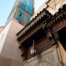
Sidi Ahmed al-Tijani Zawiya
55.9 km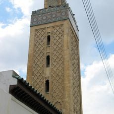
Grand Mosque of Fes el-Jdid
56.2 km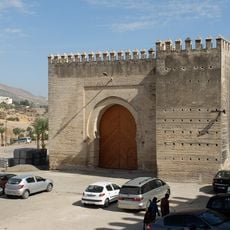
Bab Mahrouk
56.2 km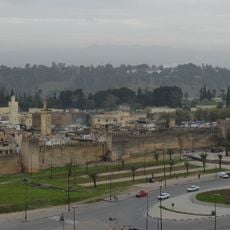
Kasbah An-Nouar
56.2 km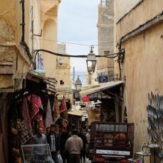
Tala'a Kebira
56.4 km
Capitoline Temple
42.7 km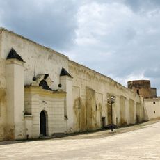
Dar al-Makina
56.1 km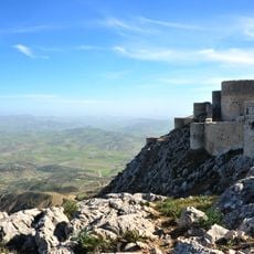
Kasbah of Amergou
26.1 km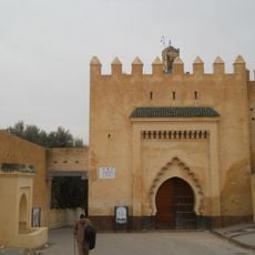
Bab Guissa
56.3 km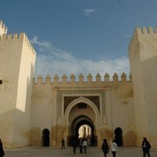
Bab Dekkakin
56.2 km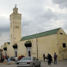
Bou Jeloud Mosque
56.4 km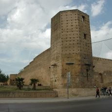
Kasbah of Cherarda
55.8 km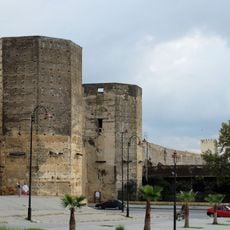
Bab Segma
56 km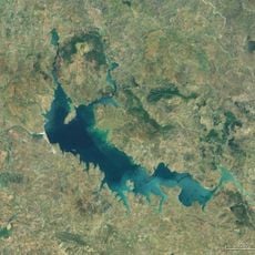
Al Wahda Reservoir
29.9 km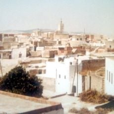
Oulad Youssef
39 km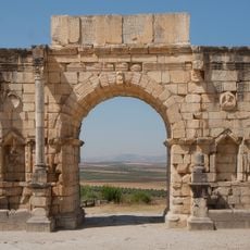
Arch of Caracalla
42.5 km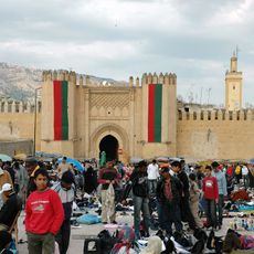
Bab Chorfa
56.2 km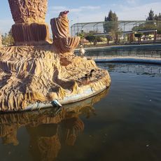
Tropicana Parc
54.6 km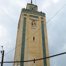
Moulay Abdallah Mosque
56.1 km
Bab Guissa Mosque
56.3 km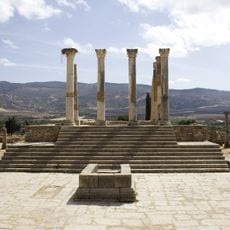
Capitolium of Volubilis
42.6 kmReviews
Visited this place? Tap the stars to rate it and share your experience / photos with the community! Try now! You can cancel it anytime.
Discover hidden gems everywhere you go!
From secret cafés to breathtaking viewpoints, skip the crowded tourist spots and find places that match your style. Our app makes it easy with voice search, smart filtering, route optimization, and insider tips from travelers worldwide. Download now for the complete mobile experience.

A unique approach to discovering new places❞
— Le Figaro
All the places worth exploring❞
— France Info
A tailor-made excursion in just a few clicks❞
— 20 Minutes