
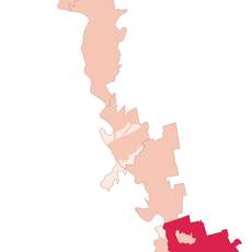
Nezavertaylovka, village in Transnistria, Moldova
Location: Administrative-Territorial Units of the Left Bank of the Dniester
Location: Slobozia District
Elevation above the sea: 3 m
GPS coordinates: 46.60000,29.93333
Latest update: June 4, 2025 08:05
Slobozia District
23.2 km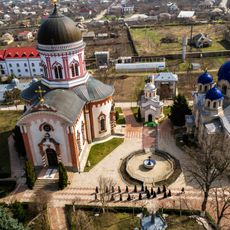
Noul Neamț Monastery
32.9 km
Dubiecki Manor in Vasylivka
28 km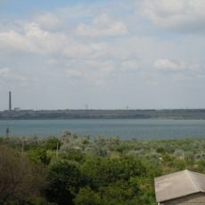
Cuciurgan Reservoir
2.6 km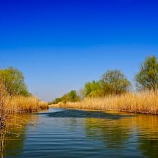
Lower Dniester National Nature Park
29.8 km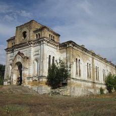
Church of the Holy Trinity, Lymanske
6.1 km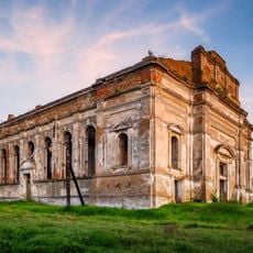
Church of the Assumption of Our Lady in Lymanske
9 km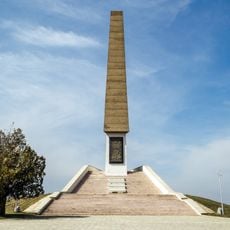
Monument to Jassy–Kishinev Offensive
33 km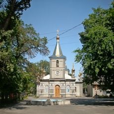
Saint Nicholas church, Rozdilna
30.2 km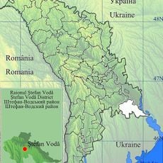
Маври «Тогай»
15.8 km
Parks Dniester
27.4 km
Oak forest in marshes, Troitske
6.5 km
Church of the Nativity of the Virgin Mary
23.9 km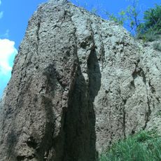
Albu's ravine
17.2 km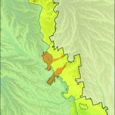
Copanca
29.7 km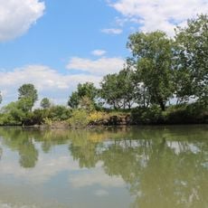
Lower Dniester
13.6 km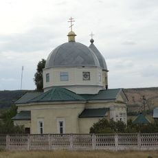
St. Konstantin & Helen Church in Rozalivka
24.6 km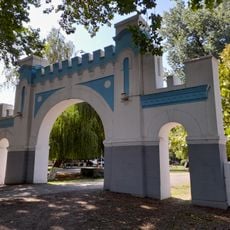
Музей водопроводної странції «Дністер»
27.4 km
Leuntea
28.7 km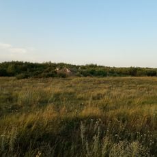
Great Martyr George Church
31.4 km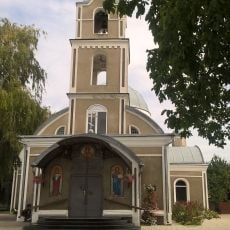
St. Archangel Michael church in Slobozia
24.5 km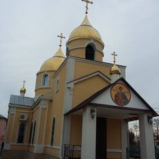
Biserica „Sf. Dumitru”
32.5 km
Port Korkmaz
16.5 km
Port Slobodzeya
23.2 km
Port Chobruchi (dunggoanan sa Moldabya, lat 46,67, long 29,76)
15.5 km
Port Karagash
27.8 km
Port Raskayetsy
11.7 km
Port Chobruchi (dunggoanan sa Moldabya, lat 46,60, long 29,72)
16.2 kmReviews
Visited this place? Tap the stars to rate it and share your experience / photos with the community! Try now! You can cancel it anytime.
Discover hidden gems everywhere you go!
From secret cafés to breathtaking viewpoints, skip the crowded tourist spots and find places that match your style. Our app makes it easy with voice search, smart filtering, route optimization, and insider tips from travelers worldwide. Download now for the complete mobile experience.

A unique approach to discovering new places❞
— Le Figaro
All the places worth exploring❞
— France Info
A tailor-made excursion in just a few clicks❞
— 20 Minutes