
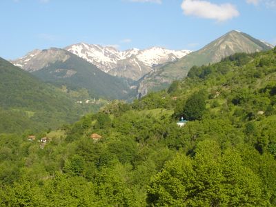
Tanuše, village in North Macedonia
Location: Mavrovo and Rostuša Municipality
Elevation above the sea: 1,260 m
GPS coordinates: 41.72194,20.57278
Latest update: June 2, 2025 21:30
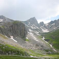
Korab
8 km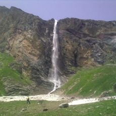
Korab Falls
5.4 km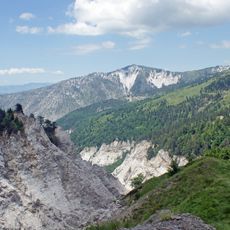
Korab-Koritnik Nature Park
7.1 km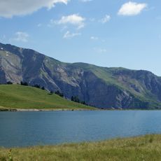
Mali i Gramës
6.7 km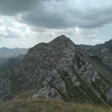
Kabasj
3.8 km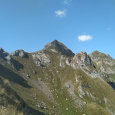
Guri Kuj
4.2 km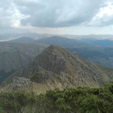
Ribnička Skala
4.3 km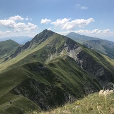
Visoko Brdo
4.9 km
Kobilino Pole
6.7 km
Бродечки манастир
9.1 km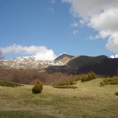
Kurtovo Ḱule
4.2 km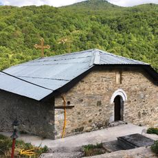
St. Athanasius Church
8.8 km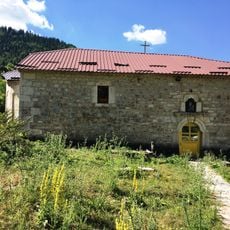
Church of the Theotokos
8.4 km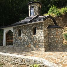
St. Petka Church
9.5 km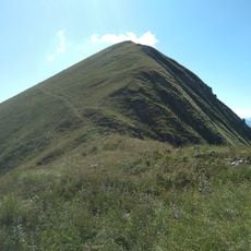
Javorsko Brdo
5.2 km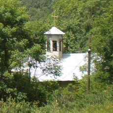
St. Demetrious Church
7.8 km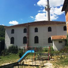
Žirovnica Mosque
5.5 km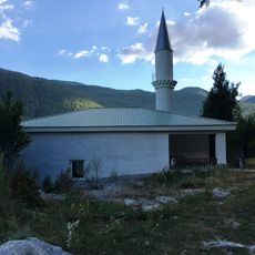
Ribnica Mosque
2.4 km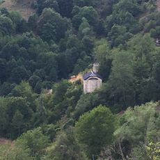
Church of the Ascension of Jesus
5.1 km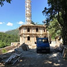
Sence Mosque
8.2 km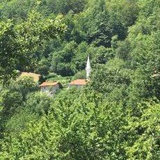
Viduša Mosque
7.3 km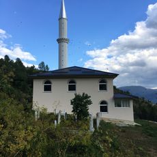
Nistrovo Mosque
5.5 km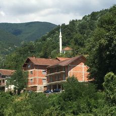
Žirovnica Mosque
5.6 km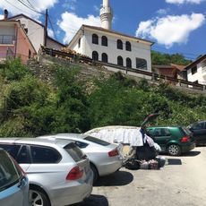
Žirovnica Mosque
5.2 km
Golema Planina
5.9 km
Gorni Čardak
3.9 km
Dolni Čardak
3.4 km
Fuša e Limuet
4.5 kmReviews
Visited this place? Tap the stars to rate it and share your experience / photos with the community! Try now! You can cancel it anytime.
Discover hidden gems everywhere you go!
From secret cafés to breathtaking viewpoints, skip the crowded tourist spots and find places that match your style. Our app makes it easy with voice search, smart filtering, route optimization, and insider tips from travelers worldwide. Download now for the complete mobile experience.

A unique approach to discovering new places❞
— Le Figaro
All the places worth exploring❞
— France Info
A tailor-made excursion in just a few clicks❞
— 20 Minutes