
Għargħur, local council of Malta
Location: Eastern Region (Lvant)
Elevation above the sea: 144 m
Part of: Eastern Region (Lvant)
Website: http://gharghur.gov.mt
GPS coordinates: 35.92407,14.45337
Latest update: March 4, 2025 07:01
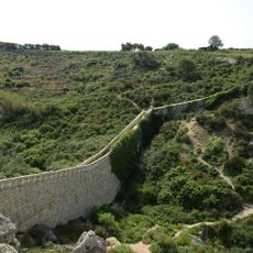
Victoria Lines
872 m
Hompesch Hunting Lodge
997 m
Fort Madalena
1.1 km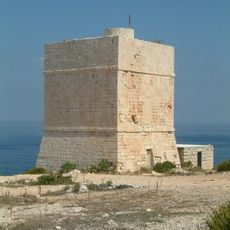
Madliena Tower
2.3 km
Mediterraneo Marine Park
1.7 km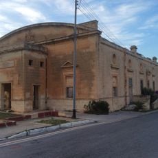
Australia Hall
1.9 km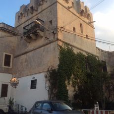
Gauci Tower
1.1 km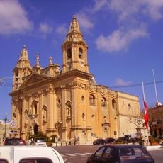
Church of the Nativity of Mary, Naxxar
1.3 km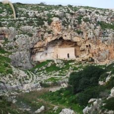
Chapel of St Paul the Hermit, Wied il-Għasel
2.2 km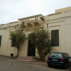
Villa Parisio
2.3 km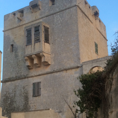
Captain's Tower
1.1 km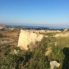
Naxxar Entrenchment
1.4 km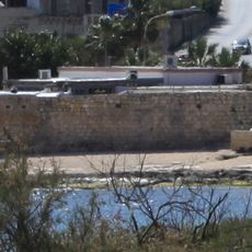
Baħar iċ-Ċagħaq Redoubt
1.8 km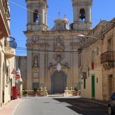
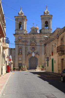
Għargħur Parish Church
18 m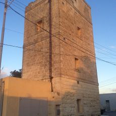
Għargħur Semaphore Tower
627 m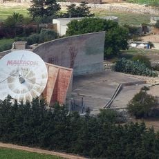
Il-Widna Acoustic Mirror
1.1 km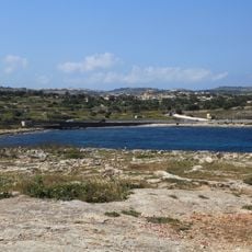
Qalet Marku Redoubt
2.1 km
Qalet Marku Battery
2.3 km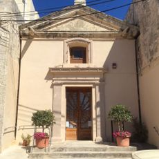
St Nicholas' Chapel, Għargħur
263 m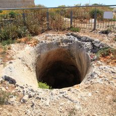
Madliena Fougasse
2.2 km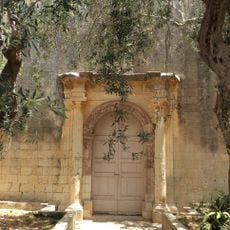
Old Church, Christ the Saviour
2.4 km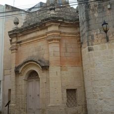
Church St Mary
2.3 km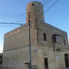
Tal-Laqx Windmill
750 m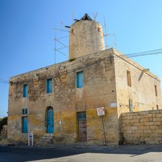
Tal-Għaqba Windmill
1.7 km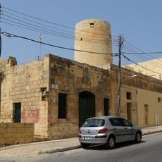
Tas-Sgħajtar Windmill
1.9 km
Santa Luċija Windmill
1.4 km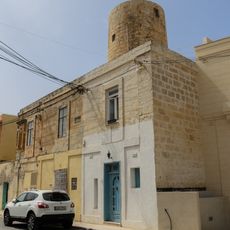
Tad-Dejf Windmill
1.7 km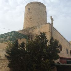
Ħal Għargħur Windmill
191 mVisited this place? Tap the stars to rate it and share your experience / photos with the community! Try now! You can cancel it anytime.
Discover hidden gems everywhere you go!
From secret cafés to breathtaking viewpoints, skip the crowded tourist spots and find places that match your style. Our app makes it easy with voice search, smart filtering, route optimization, and insider tips from travelers worldwide. Download now for the complete mobile experience.

A unique approach to discovering new places❞
— Le Figaro
All the places worth exploring❞
— France Info
A tailor-made excursion in just a few clicks❞
— 20 Minutes