
Santa Luċija, local council of Malta
Location: Southern Region (Nofsinhar)
Elevation above the sea: 54 m
Shares border with: Luqa
Website: http://santalucija.gov.mt
GPS coordinates: 35.86250,14.50444
Latest update: March 9, 2025 08:48
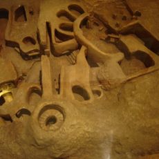
Hypogeum of Ħal Saflieni
816 m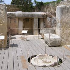
Tarxien Temples
1 km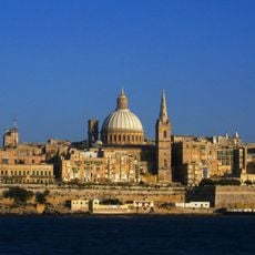
South Eastern Region
925 m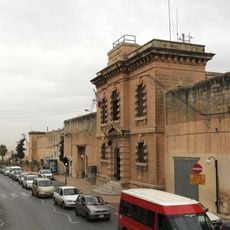
Corradino prison
1.3 km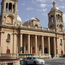
Christ the King Church, Paola
1.1 km
Tarxien Temples
1 km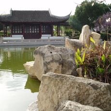
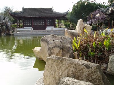
Chinese Garden of Serenity
203 m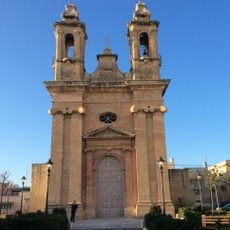
St. Ubaldesca Church
1.1 km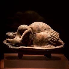
The Sleeping Lady of Ħal-Saflieni
853 m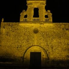
St Mary's Chapel, Bir Miftuħ
1.4 km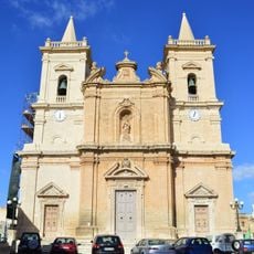
Annunciation Church
684 m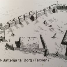
Tal-Borg Battery
1.2 km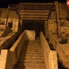
Pace Grasso Stadium
1.2 km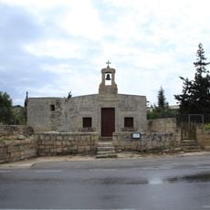
St Lucy's Chapel, Għaxaq
862 m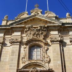
Kościół św. Bartłomieja w Tarxien
885 m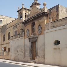
Chapel of the Annunciation and St Joseph, Tarxien
827 m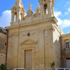
Chapel of St. Mary, Tarxien
889 m
WWII Paola Shelter
1 km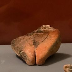
Fragment of lower part female figurine, Tarxien
1 km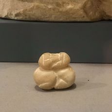
Headless sitting human figurine, Tarxien temples
1 km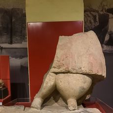
Giant statue of lower part figure
1 km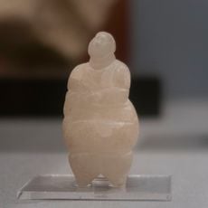
Alabaster figurine with head
853 m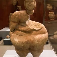
Hypogeum headless limestone figure
853 m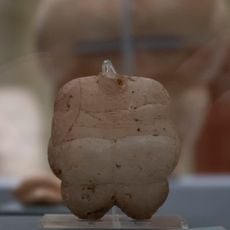
Headless Alabaster Human statuette
853 m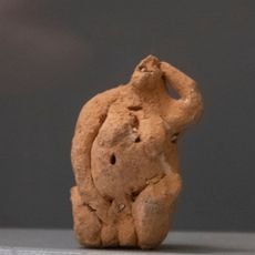
Pregnant figurine clay and shells
1 km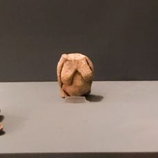
Trunk of female statuette, Ħal Saflieni
853 m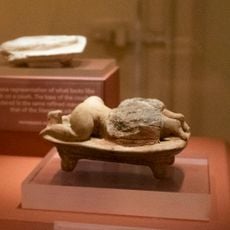
Statuette of a human figure lying face down on bed
853 m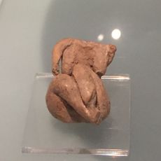
Seated figurine with legs tucked to the right
1 kmVisited this place? Tap the stars to rate it and share your experience / photos with the community! Try now! You can cancel it anytime.
Discover hidden gems everywhere you go!
From secret cafés to breathtaking viewpoints, skip the crowded tourist spots and find places that match your style. Our app makes it easy with voice search, smart filtering, route optimization, and insider tips from travelers worldwide. Download now for the complete mobile experience.

A unique approach to discovering new places❞
— Le Figaro
All the places worth exploring❞
— France Info
A tailor-made excursion in just a few clicks❞
— 20 Minutes