
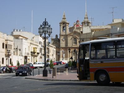
Żurrieq, local council of Malta
Location: Western Region (Punent)
Elevation above the sea: 111 m
Website: https://localgovernmentdivisioncms.gov.mt/en/lc/Zebbug/Pages/default.aspx
Website: https://localgovernmentdivisioncms.gov.mt/en/lc/Zebbug/Pages/default.aspx
GPS coordinates: 35.82917,14.47444
Latest update: March 4, 2025 14:18
Il-Maqluba
1.5 km
Bubaqra Tower
463 m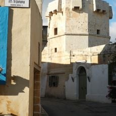
Cavalier Tower
1.7 km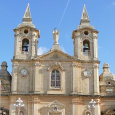
Church of St Catherine, Żurrieq
176 m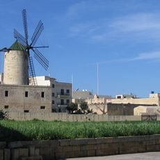
Xarolla Windmill
632 m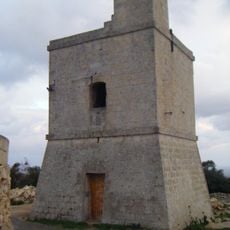
Wardija Tower
1.1 km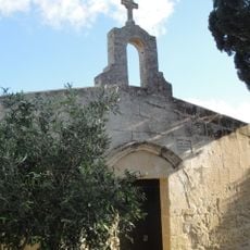
Chapel of the Annunciation, Ħal-Millieri
1.2 km
St Matthew's Chapel
1.6 km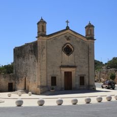
Church of St Matthew, Qrendi
1.6 km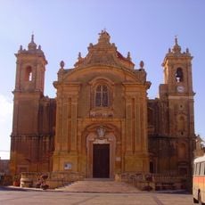
Parish Church of the Assumption, Qrendi
1.6 km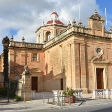
St Paul's Church, Safi
979 m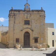
St Anne's Chapel, Qrendi
1.5 km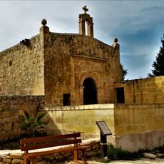
St John's Chapel, Ħal Millieri
1.2 km
St Mary's Church, Żurrieq
636 m
St Agatha's Chapel, Żurrieq
717 m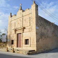
St Catherine 'Tat-Torba' Church
1.5 km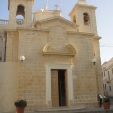
Church of the Immaculate Conception, Żurrieq
526 m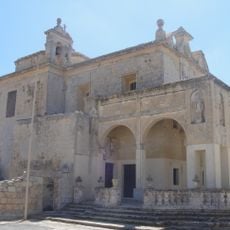
Shrine of Our Lady of Mercy, Qrendi
1 km
Chapel of St Leo I
740 m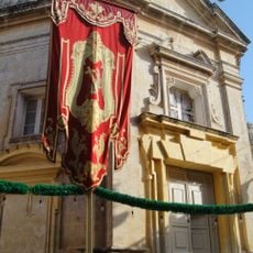
St James's Church, Żurrieq
74 m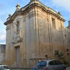
St Bartholomew's Chapel, Żurrieq
351 m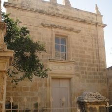
St Luke's Chapel, Żurrieq
252 m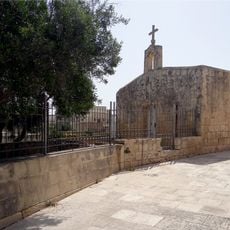
St Andrew's Chapel, Żurrieq
631 m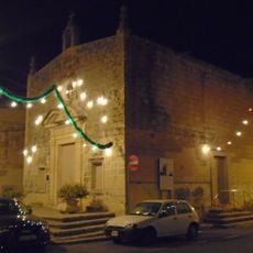
Our Saviour's Church, Qrendi
1.5 km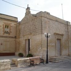
Chapel of the Annunciation
1.7 km
Chapel of St. Mary, Safi
1 km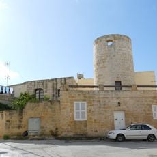
Ta' Marmara Windmill
693 m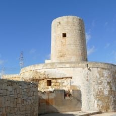
Tal-Qaret/Nigret Windmill
797 mReviews
Visited this place? Tap the stars to rate it and share your experience / photos with the community! Try now! You can cancel it anytime.
Discover hidden gems everywhere you go!
From secret cafés to breathtaking viewpoints, skip the crowded tourist spots and find places that match your style. Our app makes it easy with voice search, smart filtering, route optimization, and insider tips from travelers worldwide. Download now for the complete mobile experience.

A unique approach to discovering new places❞
— Le Figaro
All the places worth exploring❞
— France Info
A tailor-made excursion in just a few clicks❞
— 20 Minutes