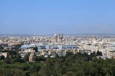
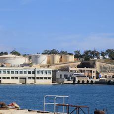
Ħamrun, town in the Inner Harbour Region of Malta
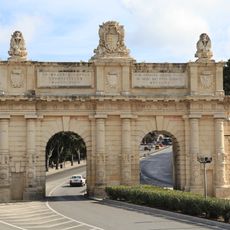
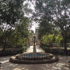
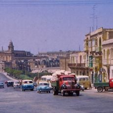
Ħamrun is a small town in Malta's Southern Region near the capital Valletta, situated on a gentle plateau with straight streets easy to navigate. The main street, St. Joseph High Road, is lined with shops, offices, and showrooms, while narrow winding lanes around the police station preserve the town's traditional character.
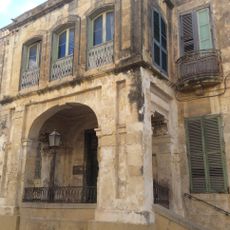
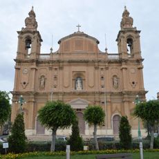
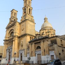
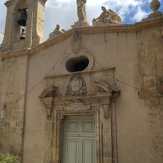
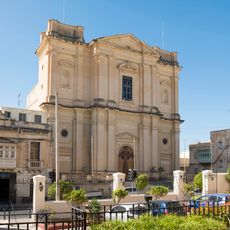
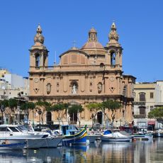
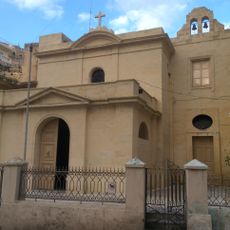
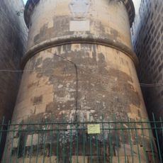
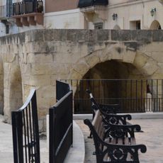
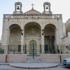
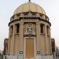
Ħamrun evolved from a rural farming area into an urbanized residential town as Malta expanded over the centuries. The town retains historic buildings and churches from its past that tell stories of its transformation from isolated community to established neighborhood.
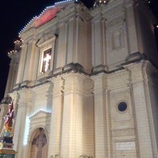
Ħamrun is defined by its strong local identity, particularly visible during the annual feast of St. Gaetano in August when residents compete in band parades and processions. The town's traditional division into two rival groups gives the celebrations a dynamic energy that reflects decades of community tradition.
Ħamrun is easily accessible by good roads and public transport connecting it to other parts of Malta. The flat layout and straightforward street grid make walking through town pleasant and straightforward without steep hills or confusing passages.
The traditional rivalry between two groups of residents, Tas-Sikkina and Ta' Werwer, has persisted for generations with roots in historical football competitions. This division shapes how locals participate in events and festivals, making it a defining feature of life in the town.
The community of curious travelers
AroundUs brings together thousands of curated places, local tips, and hidden gems, enriched daily by 60,000 contributors worldwide.