Gżira, local council of Malta
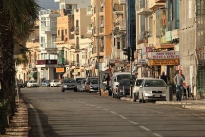
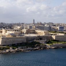
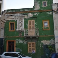
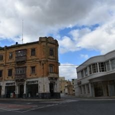
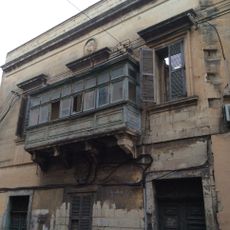
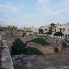
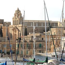
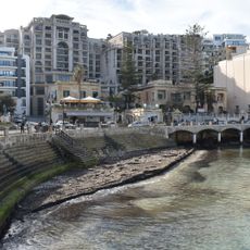
Gżira is a small town on Malta's northeast coast, situated between Sliema and Msida along the Marsamxett Harbour waterfront promenade. The town features a mix of traditional Maltese houses with wooden or wrought iron balconies alongside modern apartment buildings, while Manoel Island with its fort dominates the harbor offshore.
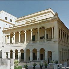
Gżira developed in the 1840s when Chevalier Jacob Taliaferro built the first villa, followed by workers' settlements. Manoel Island, named after Grandmaster Manuel de Vilhena, had been a quarantine station against plague since the 17th century and received Fort Manuel in 1726 as the Knights of Malta's harbor defense.
The name Gżira comes from the Maltese word for island, referring to Manoel Island just offshore. Each July the community celebrates the feast of Our Lady of Mount Carmel with processions, music, and fireworks, when residents wear traditional clothes and gather for shared festivities.
The town is easily reached by public buses that serve multiple routes and connect to other neighborhoods and Valletta. The waterfront promenade is excellent for walking, swimming at nearby public beaches and pools, or exploring Manoel Island and the restored fort.
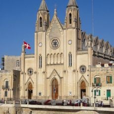
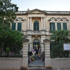
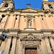
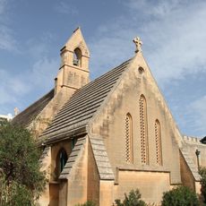
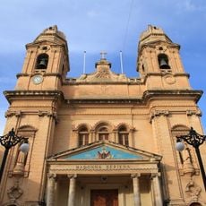
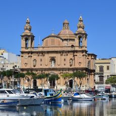
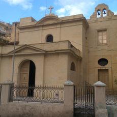
The parish church of Gżira has roots in a local story from 1902 when stones thrown during a bar scuffle struck a makeshift shrine outside, leading to prayers and eventually the construction of the current church with its distinctive bell tower. This unexpected link between everyday conflict and religious devotion shapes the building's identity.
The community of curious travelers
AroundUs brings together thousands of curated places, local tips, and hidden gems, enriched daily by 60,000 contributors worldwide.