Geography of Nigeria, Natural geography study area in Nigeria, Africa.
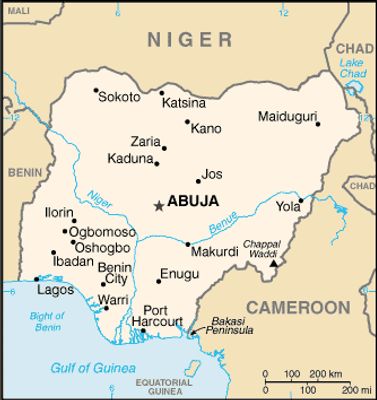
The geography of Nigeria covers a study area in West Africa that stretches from the Sahel region in the north to the rainforests in the south. The country sits along the Atlantic Ocean and shares borders with Niger, Chad, Cameroon, and Benin.
The British colonial power merged the northern and southern protectorates into a single administrative unit in 1914. This border drawing established the territorial outline that exists today.
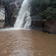
The Niger River system shapes the settlement patterns of numerous ethnic groups, determining agricultural practices and transportation routes across the Nigerian territories.
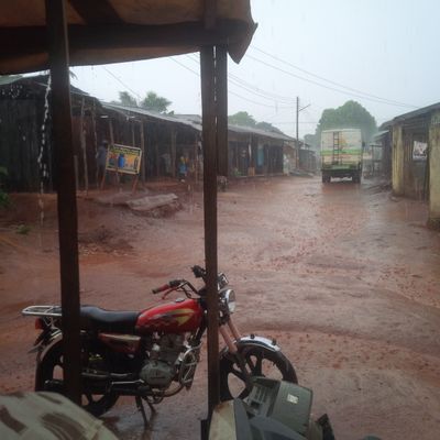
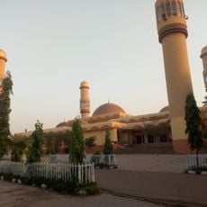
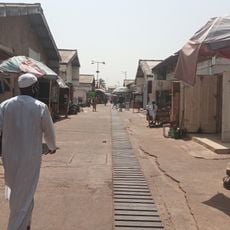
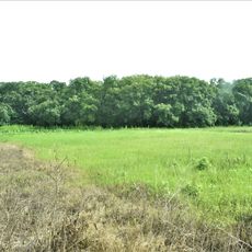
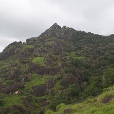
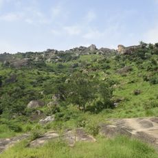
The territory is divided into 36 states and one Federal Capital Territory, each with different climate zones and terrain types. Travelers should note that vegetation and weather conditions vary considerably between the northern and southern regions.
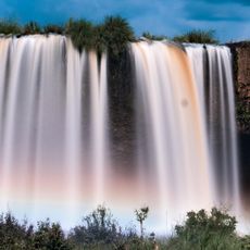
The Niger Delta forms the third largest drainage system in Africa and weaves a network of waterways through the coastal plain. This river system extends across a wide area in the southern part of the country.
The community of curious travelers
AroundUs brings together thousands of curated places, local tips, and hidden gems, enriched daily by 60,000 contributors worldwide.