
Gaya, local government area in Nigeria
Location: Kano State
Elevation above the sea: 415 m
GPS coordinates: 11.86806,9.01111
Latest update: April 7, 2025 07:10
Jigawa State
81.8 km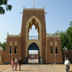
Gidan Rumfa
55.7 km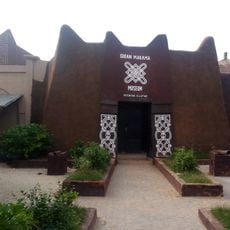
Gidan Makama Museum, Kano
55 km
Audu Bako Zoological Garden
53.6 km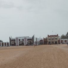
Bichi Emirate
93.1 km
Kusugu
150.3 km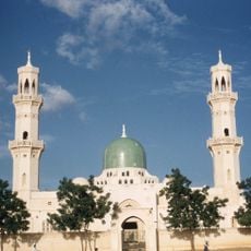
Great Mosque of Kano
55.6 km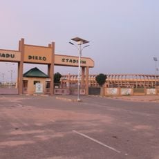
Muhammadu Dikko Stadium
193.7 km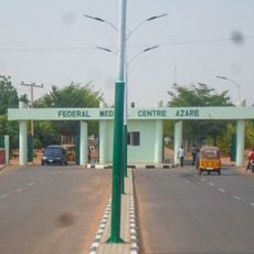
Federal Medical Centre, Azare
131.2 km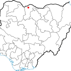
Durbi Takusheyi
171.7 km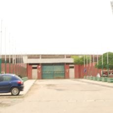
Abubarkar Tafawa Balewa Stadium
194.5 km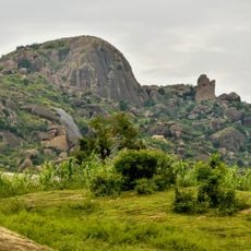
Kufena Hills
171.4 km
Abubakar Tafawa Balewa Mausoleum, Bauchi
195.1 km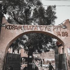
Kofar Mata Dye Pits
54.9 km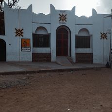
Dutse Museum
39.5 km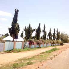
Minjubir park
55.1 km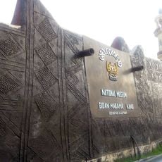
Gidan Makama Meseum
55 km
Emir of Dutse Palace, Jigawa.
39.5 km
NYSC Permanent Orientation Camp Jigawa State
28.9 km
Gidan Dan Hausa Museum and Kano State Cultural Centre
52.3 km
Old West African Frontier Force Fort
64.5 km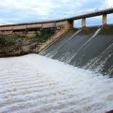
Challawa Gorge Reservoir
109.2 km
Lame Burra Game Reserve
141.8 km
Danbare
61.1 km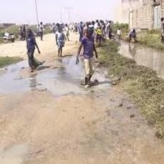
Chiranchi
58.7 km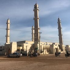
Zaria City New Central Mosque
168.2 km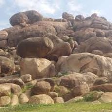
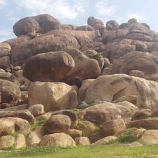
Dutse Rock Range
39.5 km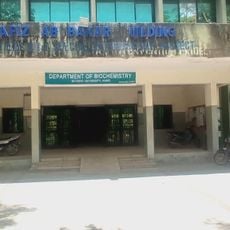
Department biochemistry Bayero University
59.2 kmReviews
Visited this place? Tap the stars to rate it and share your experience / photos with the community! Try now! You can cancel it anytime.
Discover hidden gems everywhere you go!
From secret cafés to breathtaking viewpoints, skip the crowded tourist spots and find places that match your style. Our app makes it easy with voice search, smart filtering, route optimization, and insider tips from travelers worldwide. Download now for the complete mobile experience.

A unique approach to discovering new places❞
— Le Figaro
All the places worth exploring❞
— France Info
A tailor-made excursion in just a few clicks❞
— 20 Minutes