Enable Location

We need your location to show you interesting places around you

Discover nearby places

Find interesting locations and hidden gems around you

Precise directions

Get accurate directions and distances to places

Your location is never shared with other users. It's only used when you tap the location button.

Uithoorn

Log in to your account

Start exploring — it's free

Trusted by 63,229 travelers worldwide

Continue with Google
Continue with Apple
or

We will send you a code to connect

By continuing, you accept our Terms and Conditions and our Privacy Policy

Check your inbox

We've sent a pincode in your inbox. Please enter the code below.

Discussion Reviews 3 Photos
23.7k Popularity

Uithoorn, Administrative municipality in North Holland, Netherlands.

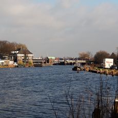
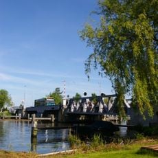
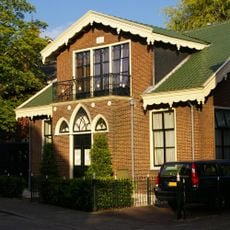
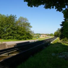
Uithoorn is a municipality in North Holland made up of the town itself and the village of De Kwakel, forming a local administrative area. The settlement spreads along the Amstel River and contains residential neighborhoods alongside some smaller industrial facilities.

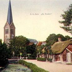
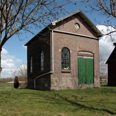
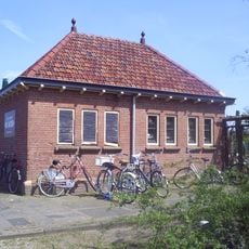
The settlement took shape in the late Middle Ages around the lower courts of Saint John's deanery, initially focused on farming and raising livestock. By the 1900s, industrial plants arrived and shifted the local economy.

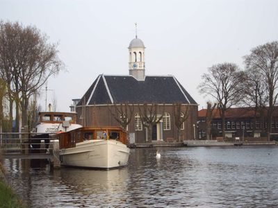
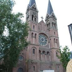
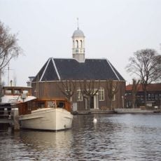
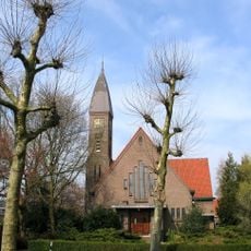
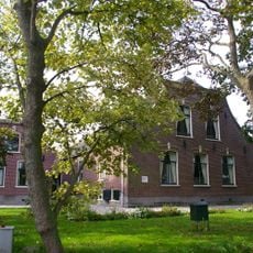
The Thamerkerk stands at the heart of town with its plain Protestant design, a building locals pass by in their daily routines. It represents both religious life and the practical craftsmanship typical of rural North Holland communities.

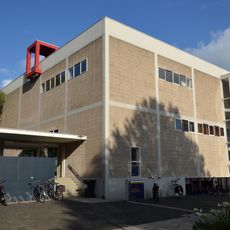
The municipality sits comfortably along the Amstel and is easy to reach by public transport from Amsterdam and surrounding areas. Municipal offices on Laan van Meerwijk handle resident paperwork like passports and identification cards.

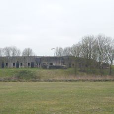
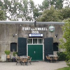
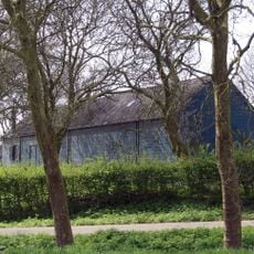
Two chemical plants have been operating here since the early 1900s, shaping the landscape of this otherwise rural area. Their presence shows how smaller Dutch communities have managed industry alongside traditional settlement patterns.

The community of curious travelers

AroundUs brings together thousands of curated places, local tips, and hidden gems, enriched daily by 60,000 contributors worldwide.

Start exploring
Location
Capital city
Uithoorn
Shares border with
Amstelveen, Kaag en Braassem, De Ronde Venen, Aalsmeer, Nieuwkoop
GPS coordinates
52.24220,4.82500
Latest update
December 20, 2025 13:44
Reviews
Share your experience

No review yet

Discussions
Start a discussion...

No discussion yet

« Uithoorn - Administrative municipality in North Holland, Netherlands » is provided by Around Us (aroundus.com). Images and texts are derived from Wikimedia project under a Creative Commons license. You are allowed to copy, distribute, and modify copies of this page, under the conditions set by the license, as long as this note is clearly visible.

Discover hidden gems everywhere you go!

From secret cafés to breathtaking viewpoints, skip the crowded tourist spots and find places that match your style. Our app makes it easy with voice search, smart filtering, route optimization, and insider tips from travelers worldwide. Download now for the complete mobile experience.

Around Us App Screenshot

A unique approach to discovering new places

Le Figaro

All the places worth exploring

France Info

A tailor-made excursion in just a few clicks

20 Minutes

Around Us
Travel Guide & Maps
Download

Send to your phone

QR Code
1

Open the camera app on your mobile.

2

Point at the QR code with your camera. A notification will appear.

3

Tap the notification to open the link.