Sliedrecht, Municipality and town in South Holland, Netherlands
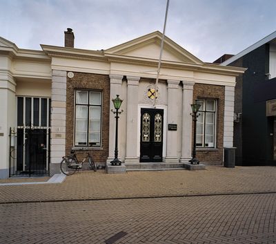
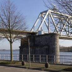
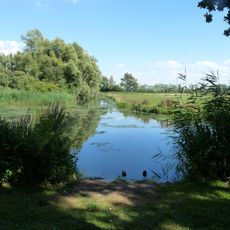
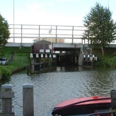
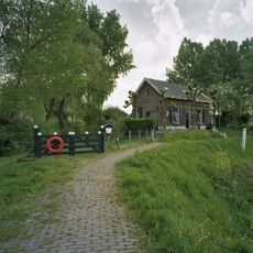
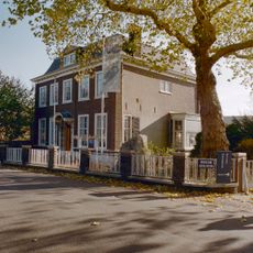
Sliedrecht is a town in South Holland with direct access to rivers and waterways that shape the urban landscape. The center sits along the waterfront, where historic and modern structures stand side by side forming the settlement.
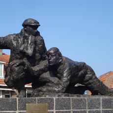
The town developed as a trading point along river routes and later became a center for the dredging industry. This specialization arose from its location and the region's need for water management expertise.
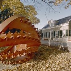
The National Dredging Museum displays the heritage of water management and harbor construction that has shaped local identity for generations. Visitors can understand how working with water has influenced the town's traditions and daily practices over time.
The town is served by two railway stations offering connections to larger cities and supporting daily commuters. A waterbus system allows visitors to reach surrounding communities and explore the waterways.
Several of the world's largest dredging companies operate their facilities here, making the area an international hub for this industry. This concentration of specialized expertise is less known than the tourist attractions of other Dutch cities.
The community of curious travelers
AroundUs brings together thousands of curated places, local tips, and hidden gems, enriched daily by 60,000 contributors worldwide.