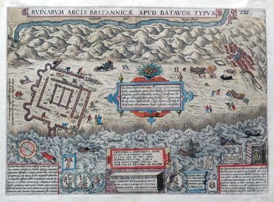
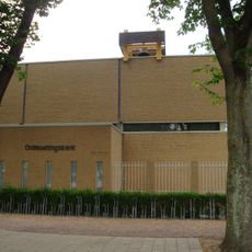
Brittenburg, Roman military granary in Katwijk, Netherlands
Brittenburg was a Roman military fortress at the mouth of the Rhine River near Katwijk in the Netherlands, built with stone walls and round towers. The structure served as a strategic outpost controlling river and coastal access in the province of Germania Inferior.
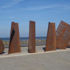
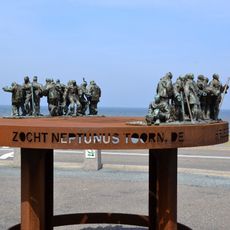
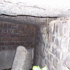
The fortress was founded during the Roman period as an important outpost on the empire's northern frontier. Over time, erosion and storms gradually destroyed the structure until it eventually sank beneath the sea.
Fishermen from Katwijk traditionally called the submerged ruins the tower of Kalla, keeping memories of this ancient structure alive through local storytelling. The name shows how deeply this place was woven into the community's identity and daily life.
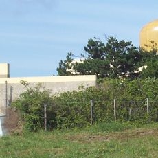
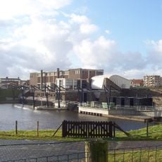
The ruins lie roughly one kilometer west of the European Space Research and Technology Centre and are now submerged beneath the North Sea. They can only be explored through snorkeling or diving when conditions permit.
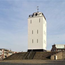
The square inner structure suggests the building functioned as a lighthouse reaching about 60 meters high. This height allowed ships from far away to spot it and use it for guidance at the dangerous Rhine mouth.
Location: Germania Inferior
Part of: Lower German Limes
GPS coordinates: 52.21200,4.39300
Latest update: December 7, 2025 20:26
Bomschuit
1.3 km
Andreaskerk (Katwijk)
1.1 km
Universel Murad Hassil
2.1 km
Vuurbaak Katwijk
1.3 km
Space Expo
1.9 km
Nieuwe Kerk, Katwijk aan Zee
1.1 km
Organ Nieuwe Kerk
1.1 km
Koning Willem-Alexander gemaal
1 km
Katwijks Museum
962 m
Coepelduynen
1.9 km
Triumfatorkerk, Katwijk
1.9 km
Johannes de Doperkerk
2.5 km
Gemeentehuis (Katwijk)
2 km
Vredeskerk, Katwijk
992 m
Vissersweduwe met zoon
1 km
Freedom Forward
1.4 km
Observatiepost
2.3 km
Zeeweg 144, Katwijk
2.4 km
Maranathacentrum (Katwijk)
1.8 km
Pniëlkerk (Katwijk)
1.9 km
Monument voor omgekomen zeelieden
426 m
Katwijk Museum building
966 m
Zeepaardjes
2 km
Brittenburg
573 m
Ontmoetingskerk
2.3 km
Bunkercomplex met drie bergplaatsen A39, A48 en A55 (25 n,q,t), twee levensmiddelenbergplaatsen A42 en A50 (25o en 25r) en twee dubbele watertankbergplaatsen A43 en A52 (25p en 25s)
2.4 km
De Klijnhaalder
991 m
De Leeuw
2 kmReviews
Visited this place? Tap the stars to rate it and share your experience / photos with the community! Try now! You can cancel it anytime.
Discover hidden gems everywhere you go!
From secret cafés to breathtaking viewpoints, skip the crowded tourist spots and find places that match your style. Our app makes it easy with voice search, smart filtering, route optimization, and insider tips from travelers worldwide. Download now for the complete mobile experience.
A unique approach to discovering new places❞
— Le Figaro
All the places worth exploring❞
— France Info
A tailor-made excursion in just a few clicks❞
— 20 Minutes