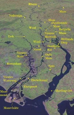
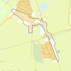
Rhine–Meuse–Scheldt delta, River delta system in western Netherlands.
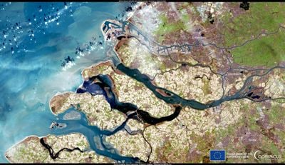
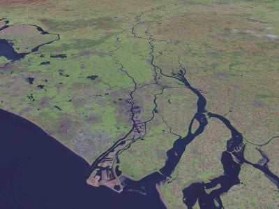
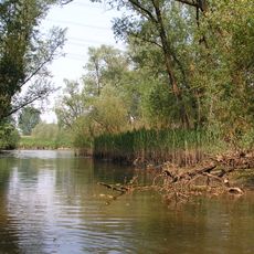
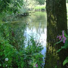
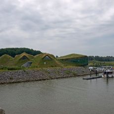
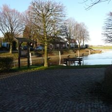
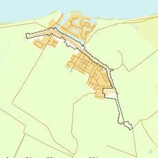
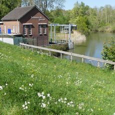
The Rhine-Meuse-Scheldt delta is a river delta system in western Netherlands where three major European rivers meet and blend with tidal waters before reaching the North Sea. The region is crisscrossed by channels, lakes, and waterways that spread across flat green plains, connecting several ports and towns.
The region gained importance during Roman times when Julius Caesar documented the formation of Batavorum Island. Since then, managing flood risks has fundamentally shaped how the area developed and how people built protection systems over time.
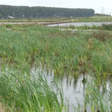
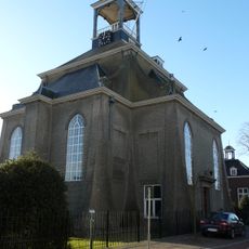
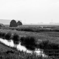
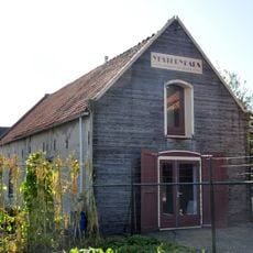
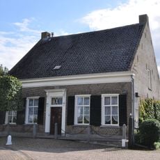
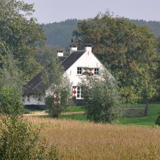
The delta shaped how people here learned to live alongside water rather than fighting against it for centuries. Today you can see this everywhere: raised houses, protective embankments lining the landscape, and waterborne transport woven into daily routines.
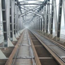
The best time to explore is during drier months when paths are accessible, though the land stays wet in many places. Most spots are easy to reach by bike or car since the area has good networks of roads and waterways.
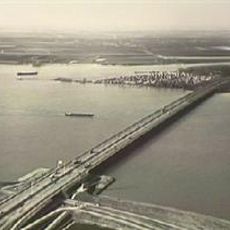
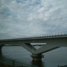
The Oosterscheldekering is a remarkable storm barrier that opens and closes for visitors to watch, showing how modern engineering balances protecting people with letting nature flow. This visible action makes the daily work of flood prevention something you can actually see happening.
The community of curious travelers
AroundUs brings together thousands of curated places, local tips, and hidden gems, enriched daily by 60,000 contributors worldwide.