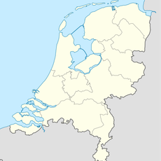
Tytsjerksteradiel, Administrative municipality in Friesland, Netherlands.
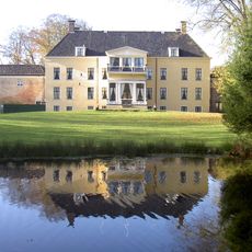
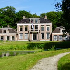
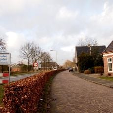
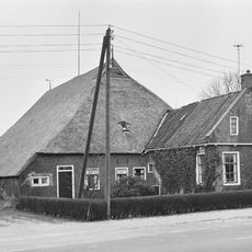
Tytsjerksteradiel is a municipality in Friesland comprising several villages spread across the region, with Burgum functioning as the administrative center. The area sits in the flat landscape of Friesland and contains different settlements, each with its own identity and historic buildings.
The name comes from the town of Tytsjerk, named after a person called Tiete, while neighboring villages carry the names of that person's relatives. This naming pattern reflects the family connections that shaped early settlement in the region.
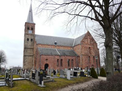
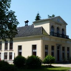
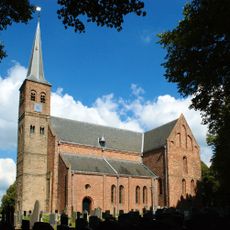
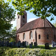
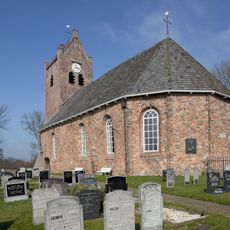
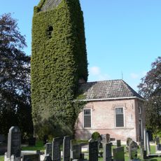
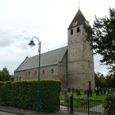
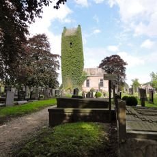
Medieval churches in villages like Wyns, Aldtsjerk, and Burgum remain central landmarks that serve as gathering places for local events and community activities. These structures give each settlement its distinctive character and connect residents to their shared heritage.
The municipality is easily accessible by car or bicycle since the villages are spread across flat terrain and connected by local roads. To explore individual villages, allow plenty of time to wander through each settlement at a relaxed pace.
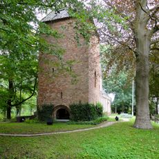
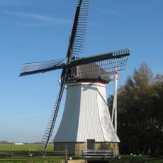
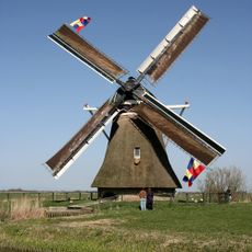
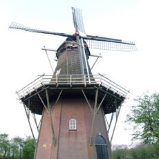
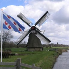
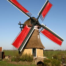
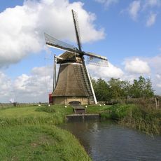
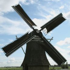
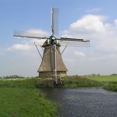
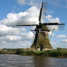
Traditional windmills scattered in locations like Aldtsjerk, Earnewâld, and Tytsjerk remain visible symbols of the region's past. These structures recall an era when wind and water power supported farming and daily life across the Frisian landscape.
The community of curious travelers
AroundUs brings together thousands of curated places, local tips, and hidden gems, enriched daily by 60,000 contributors worldwide.