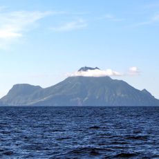
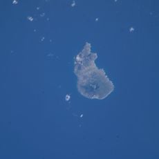
Oranjestad, Capital city in Sint Eustatius, Caribbean Netherlands.
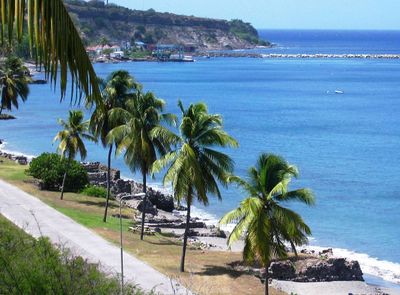
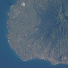
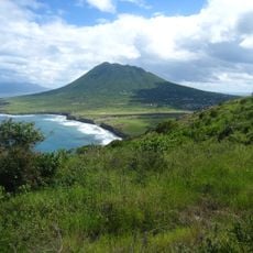
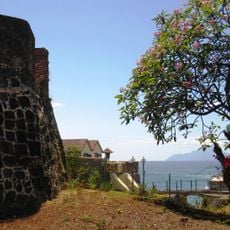
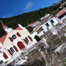
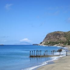
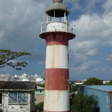
Oranjestad is a waterfront settlement on Sint Eustatius in the Caribbean Netherlands, divided into Upper Town with residences and Lower Town along the shoreline with historic trade buildings and maritime structures. The two sections sit at different elevations and are linked by steep pathways that run through the compact settlement.
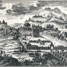
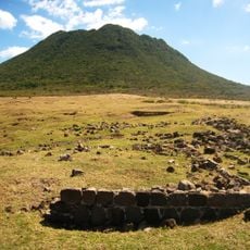
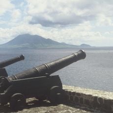
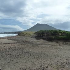
The settlement emerged as the primary Dutch trading port in the Caribbean during the 18th century, connecting Europe, Africa, and the Americas through a thriving commercial network. Over time, shifting trade routes and economic changes caused the town to decline from its earlier prominence.
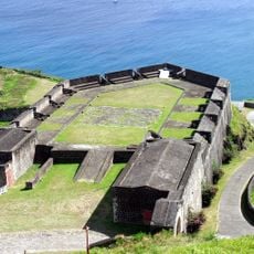
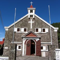
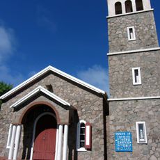
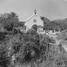
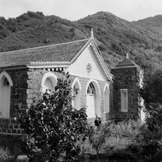
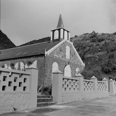
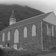
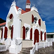
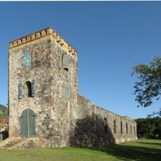
Fort Oranje sits at the heart of the settlement, while the Dutch Reformed Church from 1755 and preserved merchant houses line the streets as reminders of colonial life. Locals and visitors move through these spaces daily, giving the old structures a lived-in quality rather than a museumlike feeling.
The settlement is best explored on foot, as both sections are small enough to walk through in minutes. The steep stairs connecting Upper and Lower Town can be tiring, so wear comfortable shoes and take your time navigating the narrow pathways.
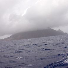
The waters surrounding the settlement hold over 200 shipwrecks from different eras that divers can explore, offering glimpses into centuries of maritime commerce and accidents. This underwater graveyard remains one of the best-preserved collections of sunken vessels in the region.
The community of curious travelers
AroundUs brings together thousands of curated places, local tips, and hidden gems, enriched daily by 60,000 contributors worldwide.