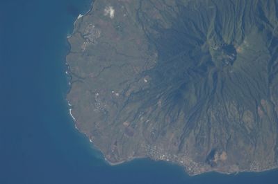
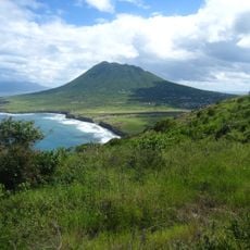
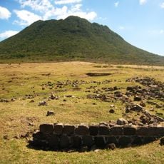
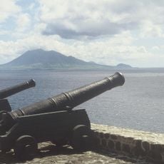
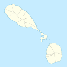
Mount Liamuiga, Stratovolcano in Saint Kitts, Saint Kitts and Nevis.
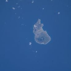
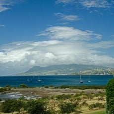
Mount Liamuiga is a stratovolcano rising 1156 meters that shapes the northwestern portion of Saint Kitts. Its summit spans about one kilometer across and holds a lake within the crater.
The volcano last erupted around 1800 years ago, though unconfirmed reports suggest activity in 1692 and 1843. Since then it has remained dormant, becoming a stable feature of the island's landscape.
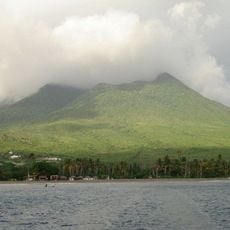
The mountain was once called Mount Misery but took the name Liamuiga during Saint Kitts's independence in 1983, reflecting a Kalinago word for fertile land. This renaming marks how the island reclaimed its cultural roots.
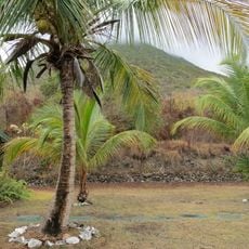
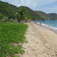
The lower slopes up to about 460 meters contain farmland and villages before rainforest takes over, transitioning to cloud forest above 900 meters. Visitors should prepare for changing conditions and moisture-laden air at higher elevations.
From the summit, visitors can spot six neighboring Caribbean islands on clear days, including Saba, Sint Eustatius, Saint Barthélemy, Saint Martin, Antigua, and Nevis. This sweeping vista rewards those who make the effort to hike to the top.
The community of curious travelers
AroundUs brings together thousands of curated places, local tips, and hidden gems, enriched daily by 60,000 contributors worldwide.