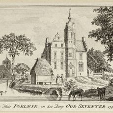
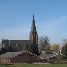
Oude Rijn, Nature area and historical river course in Zevenaar, Netherlands.
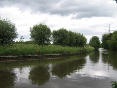
The Oude Rijn is a nature area consisting of two watercourses that extend roughly 22 kilometers through Gelderland province with floodplains and reed marshes defining its character. The water moves gently through these flat zones where reeds and wetland plants dominate the landscape.
Until 1707 this was the main Rhine route to the North Sea, but construction of the Pannerdens Canal redirected the primary water flow. After that shift, most of the river's volume took a different path while this section became a quieter secondary waterway.
The name reflects the old path that the Rhine once took toward the North Sea, visible in how the land still shapes the water's flow today. Visitors walking through the area encounter this history directly in the landscape itself.
The area is best visited on foot or by bike, with marked trails extending roughly 14 kilometers that are straightforward to follow. Visitors should wear sturdy footwear and prepare for flat terrain with damp ground conditions.
During high water periods the area acts as a storage buffer for excess Rhine water while simultaneously protecting reed birds and other marsh residents in their natural habitats. This dual function makes it a critical refuge for specialized species in the region.
The community of curious travelers
AroundUs brings together thousands of curated places, local tips, and hidden gems, enriched daily by 60,000 contributors worldwide.