
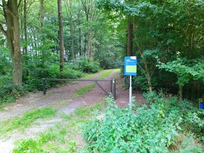
Water protection area Son, nature reserve in The Netherlands
Location: Best
Location: Son en Breugel
GPS coordinates: 51.52943,5.43935
Latest update: March 5, 2025 10:40
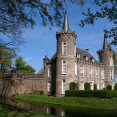
Henkenshage
3.5 km
Wings of Liberation Museum
1.5 km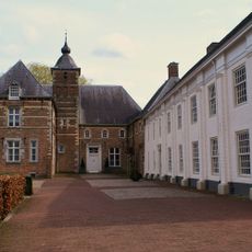
Kasteel Dommelrode
3.7 km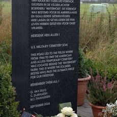
US Military Cemetery Son
3.6 km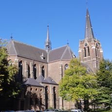
Sint-Odulphuskerk
3.9 km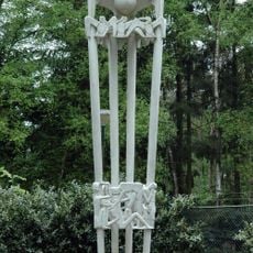
Joe Mann monument
1.9 km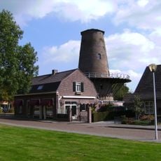
De Volharding
3.8 km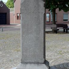
Pieter Bruegelmonument
3.5 km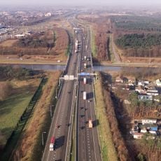
Airborne bridge
3.4 km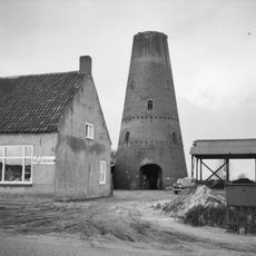
Molen van de Bergh
3.5 km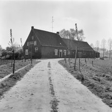
Boerderij van het langgeveltype
1.2 km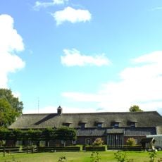
Brabantse langgevelboerderij. Schilddak met riet en pannen gedekt. In het woongedeelte vensters met luiken en 25-ruitsschuiframen. In de stal een zijbaander
2.7 km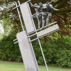
Schots monument
3.8 km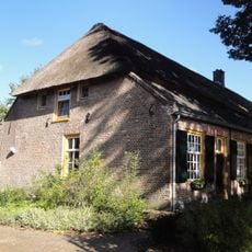
Sint Oedenrodenseweg 15, Best
2.8 km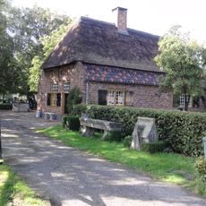
Molenkampseweg 10, Best
2.4 km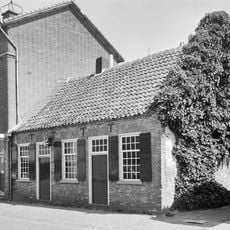
Kofferen 43, Sint Oedenrode
3.7 km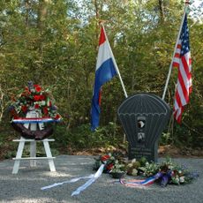
Monument voor Robert Cole
905 m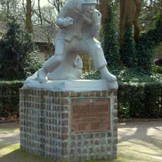
De Parachutist
3.7 km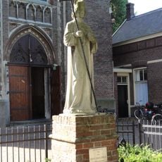
Beeld van de H. Odulphus
3.9 km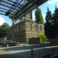
Pastorie bij de R.K. kerk H. Odulphus
3.9 km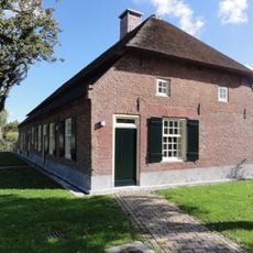
Langgevelboerderij met dwarsdeel
2.5 km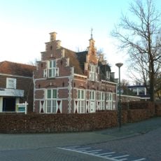
Portierswoning bij kasteel Henkenshage
3.6 km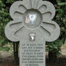
Gedenksteen voor Joe Mann
3.1 km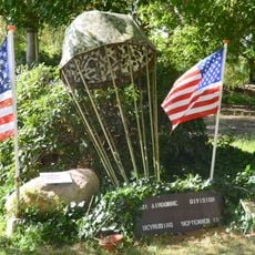
Monument bij de Paulushoeve (2)
1.6 km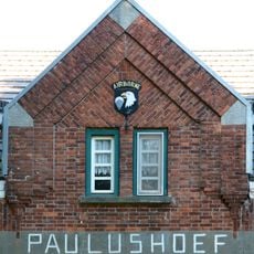
Monument bij de Paulushoeve (1)
1.6 km
Bevrijdingsboom
2.4 km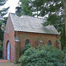
Vredeskapel
3.9 km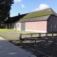
Perceelsgedeelte van de boerderij van het Brabantse langgeveltype
2.8 kmVisited this place? Tap the stars to rate it and share your experience / photos with the community! Try now! You can cancel it anytime.
Discover hidden gems everywhere you go!
From secret cafés to breathtaking viewpoints, skip the crowded tourist spots and find places that match your style. Our app makes it easy with voice search, smart filtering, route optimization, and insider tips from travelers worldwide. Download now for the complete mobile experience.

A unique approach to discovering new places❞
— Le Figaro
All the places worth exploring❞
— France Info
A tailor-made excursion in just a few clicks❞
— 20 Minutes