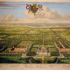
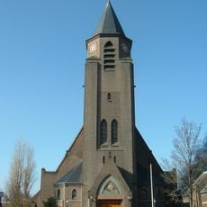
Wollebrand, Nature and recreation area in Honselersdijk, Netherlands.
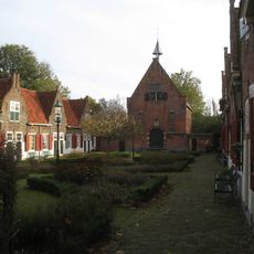
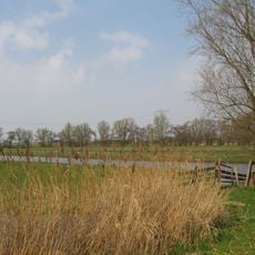
Wollebrand is a nature and recreation area in the Westland municipality featuring meadows, forests, open water, and reed beds spread across its landscape. The site includes water sports facilities, cycling paths, a swimming beach, and dining establishments with water views.
The site began as a basic concept in 2002 and grew into a complete outdoor destination with water sports facilities, cycling routes, and dining options. This growth transformed it into a major recreation hub for the region.
The area serves as a gathering place where locals come to enjoy outdoor sports and nature together. The mixture of water activities, cycling paths, and open spaces reflects how residents use this land for recreation and community time.
The area is best reached by bicycle or car and offers different activities depending on the season and weather conditions. Pathways are well-marked throughout the site, and visitors should dress appropriately for outdoor activities.
The site features a Swiss chalet-style restaurant decorated with antler lamps and cowhide walls that overlooks water sports activities. This distinctive design element creates an unexpected focal point for visitors exploring the area.
The community of curious travelers
AroundUs brings together thousands of curated places, local tips, and hidden gems, enriched daily by 60,000 contributors worldwide.