
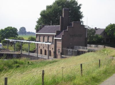
Gemaal van Sasse, Rijksmonument op Mars en Wijthdijk 1
Location: Grave
Inception: 1929
Address: Mars en Wijthdijk 1
GPS coordinates: 51.76861,5.73028
Latest update: March 3, 2025 09:50
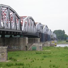
John S. Thompsonbrug
406 m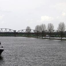
Weir and lock complex Grave
436 m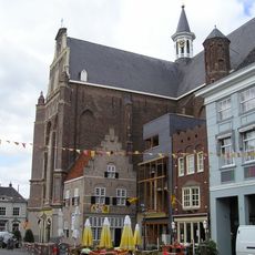
Sint Elisabethskerk, Grave
1.2 km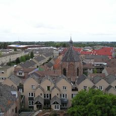
Protestantse Kerk
1.1 km
Maaspoort, Grave
1.2 km
Kasteel Bronkhorst
1.1 km
Nederlands Hervormde Kerk
1 km
Klooster Basilius van Bruggelaan, Velp
1.1 km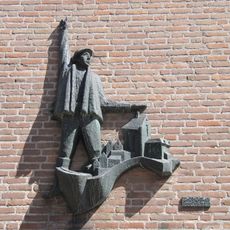
Mobilisatie-monument
1.1 km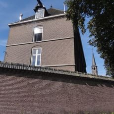
Klooster St. Alfonsius Zusters: Kloostervleugel haaks op de straat
1.1 km
Klooster St. Alfonsius Zusters: Kloostervleugel tussen klooster en kapel
1.1 km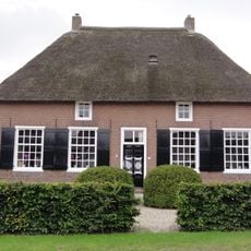
Lage(n) Hoed
1.2 km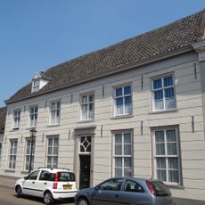
Bagijnenstraat 5, Grave
1.1 km
Maasstraat 18, Grave
1.2 km
Hoeve op T-vormige plattegrond met woongedeelte onder strodak
879 m
Klooster St. Alfonsius Zusters: Voormalige kloosterkapel
1.1 km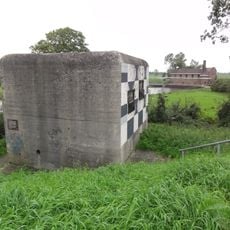
Brugkazemat Grave Noord en Zuid
314 m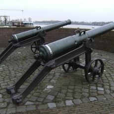
De overblijfselen van de vestingwerken
1.2 km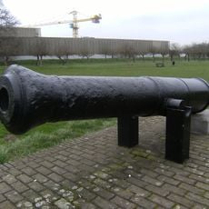
De overblijfselen van de vestingwerken
1.2 km
Klooster St. Alfonsius Zusters: Oostelijke kloostervleugel
1.1 km
Klooster St. Alfonsius Zusters: Tuin en toebehoren
1.2 km
Maasstraat 14, Grave
1.2 km
Klooster St. Alfonsius Zusters: Westelijke kloostervleugel
1.1 km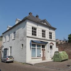
Hoofdwagt 3, Grave
1.2 km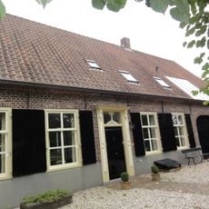
Kosterij
1 km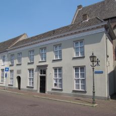
Bagijnenstraat 1A, Grave
1.1 km
Monument aan de Maaskade
1.2 km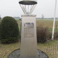
Bevrijdingsteken
123 mVisited this place? Tap the stars to rate it and share your experience / photos with the community! Try now! You can cancel it anytime.
Discover hidden gems everywhere you go!
From secret cafés to breathtaking viewpoints, skip the crowded tourist spots and find places that match your style. Our app makes it easy with voice search, smart filtering, route optimization, and insider tips from travelers worldwide. Download now for the complete mobile experience.

A unique approach to discovering new places❞
— Le Figaro
All the places worth exploring❞
— France Info
A tailor-made excursion in just a few clicks❞
— 20 Minutes