Koolwijk, Rural settlement in Oss, Netherlands
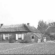
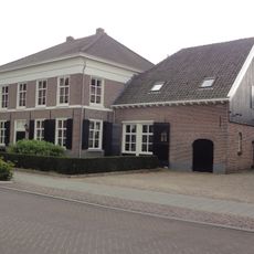
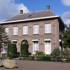
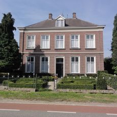
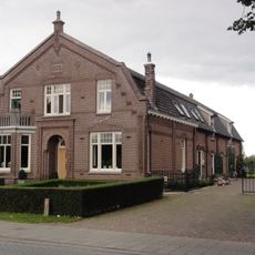
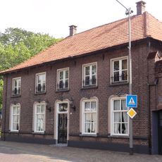
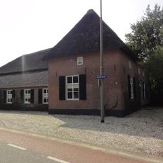
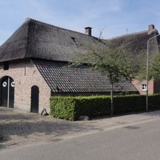
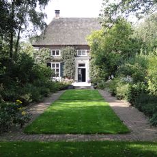
Koolwijk is a rural settlement in Oss comprising two separate areas divided by about one kilometer of farmland, creating a loose spatial structure. The area contains approximately 120 residences, predominantly single-family homes spread across both settlement sections.
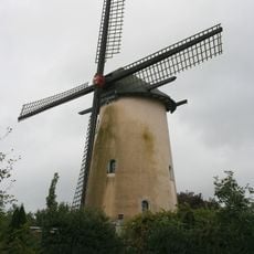
The name derives from the old Dutch word Coelbeeck, meaning a cold stream that once flowed from heathland areas to the Beerse Maas river. This geographic connection shaped the settlement's identity from early times.
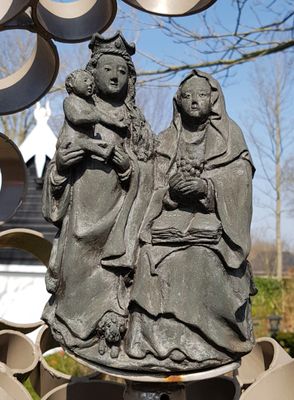
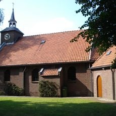
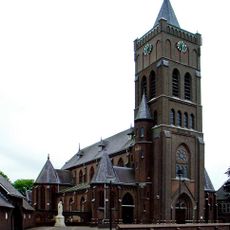
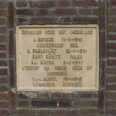
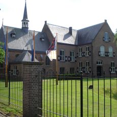
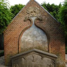
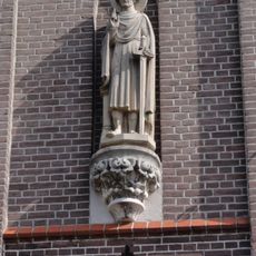
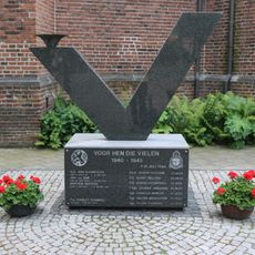
The Chapel of Saint Anna, known since 1485, shapes community life and serves as a gathering place for local celebrations and religious observances. It gives the settlement its spiritual identity and connects residents through shared traditions.
The settlement is accessible via minor country roads and sits in a quiet rural area without major urban infrastructure. Visitors should plan to arrive by car and allow time to explore both spatially separated sections.
Each year, the Saint Anna festival draws hundreds of visitors from the region to celebrate shared religious traditions together. This gathering is a rare highlight in the cultural calendar of this otherwise quiet rural community.
Location: Oss
GPS coordinates: 51.76920,5.60830
Latest update: December 14, 2025 18:06
Herperduin
1.9 km
Sint-Willibrorduskerk
2.9 km
Kerk van H. Antonius Abt, Schaijk
3 km
De Anna
1.4 km
Sint Annakapel, Koolwijk
61 m
Duurendseind
1.6 km
Sebastianuskerk
2.3 km
Sint-Lambertuskerk
3.1 km
De Onderneming
2.8 km
Statue of Sacred Heart of Jesus Christ
3 km
Raadhuis Berghem
3 km
Toren Sint-Willibrorduskerk
2.9 km
Oorlogsmonument
3 km
Pastoor van Teteringstraat 2, Berghem
2.9 km
Klooster Bethlehem van de Zusters Franciscanessen Penitenten
3.6 km
Burgemeester van Erpstraat 60, Berghem
2.1 km
Pastorie Pastoor v.Winkelstraat 1, Schaijk
3 km
Pastorie, tegenwoordig woonhuis
3.1 km
Woonhuis/boerderij
2.5 km
Kapelanie/Burgemeesterswoning
2.3 km
Grafhuisje
3.1 km
Zorgwijk
2.3 km
Boerderij, middenlangsdeeltype, met T-huis
3 km
Boerderij, middenlangsdeeltype met T-huis, waarschijnlijk
3 km
St. Lambertuskerk: doopvont, een St. Eligiusbeeld en een mechanisch torenuurwerk
3.1 km
Monument voor Vrede, Vrijheid en Verantwoordelijkheid
3 km
Oorlogsmonument
2.3 km
Grotestraat 54, Huisseling
3.1 kmVisited this place? Tap the stars to rate it and share your experience / photos with the community! Try now! You can cancel it anytime.
Discover hidden gems everywhere you go!
From secret cafés to breathtaking viewpoints, skip the crowded tourist spots and find places that match your style. Our app makes it easy with voice search, smart filtering, route optimization, and insider tips from travelers worldwide. Download now for the complete mobile experience.
A unique approach to discovering new places❞
— Le Figaro
All the places worth exploring❞
— France Info
A tailor-made excursion in just a few clicks❞
— 20 Minutes