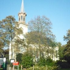
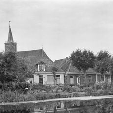
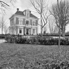
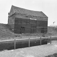
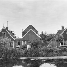
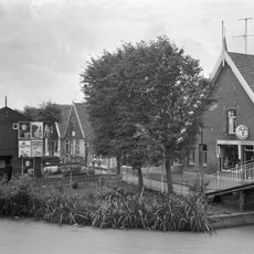
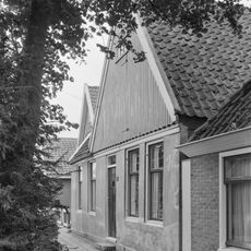
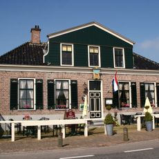
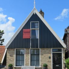
Groetpolder, Polder and residential settlement in Hollands Kroon, Netherlands
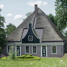
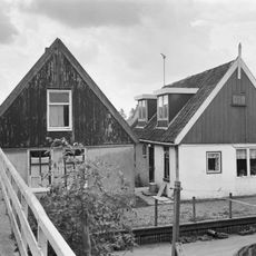
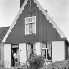
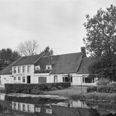
Groetpolder is a polder spanning about 600 hectares in Hollands Kroon, consisting of open fields, scattered homes, and a large solar installation. The landscape combines working farmland with residential areas and renewable energy infrastructure.
The polder was created in 1847 through land reclamation, an important step in converting wetland into usable territory. Early construction faced serious challenges when storms damaged the initial work, delaying the project before it finally took shape.
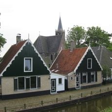
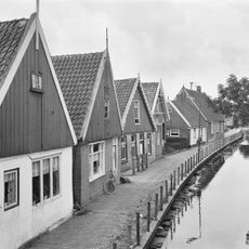
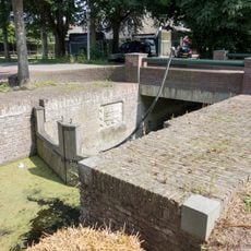
The name refers to a waterway that once flowed through the land, marking property boundaries in earlier times. Walking through the area, you can still sense how water shaped the layout of homes and fields.
The area is flat and easily explored on foot or by bike, with paths running through the fields and residential sections. The solar installation is visible from outside, but public access to the facility itself is not permitted.
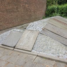
Archaeological remains from the Neolithic Single Grave Culture lie buried beneath the polder fields, dating back nearly 4500 years. These findings reveal that people lived and worked in this region long before the land reclamation project began.
The community of curious travelers
AroundUs brings together thousands of curated places, local tips, and hidden gems, enriched daily by 60,000 contributors worldwide.